Quite some months ago we returned from Kungsleden, the Trail of the Kings in northern Sweden, Laponia.
Starting in Abisko it takes all the way down to Hemavan and is split in four stretches, where you will see here the first one – leading to Vakkotavare / Saltoluokta.
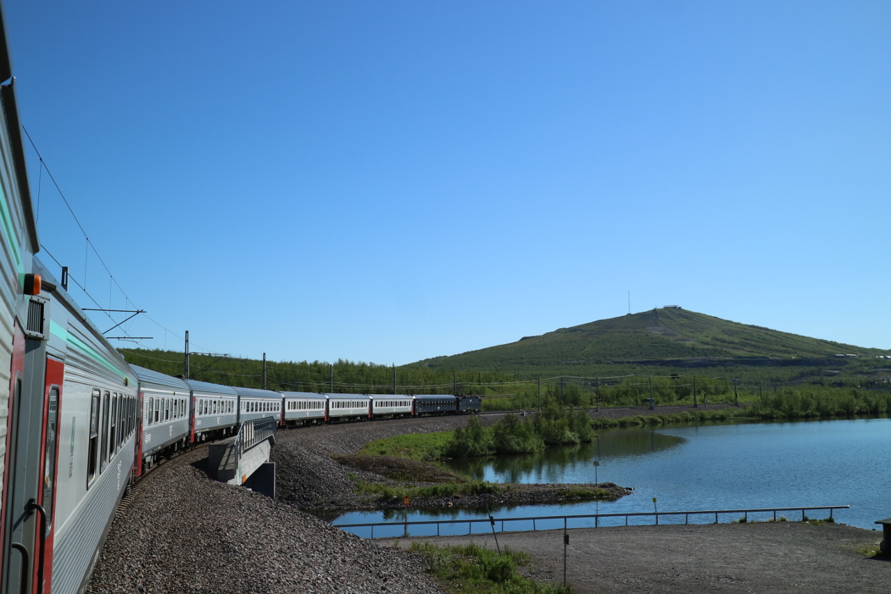 You may arrive by the night-train from Stockholm or Kiruna, the later famous for its iron ore mine and end up at the shores of the Torneträsk in Abisko Tourist Station.
 Here is the last spot where you will see tarmac for at least eight days of consecutive walking and the STF Fjällstation allows to fill up your backpack or sleep a last time in a real bed. Nevertheless, the train arrives around 11:00am and allows to immediately start off into the Abisko national park.
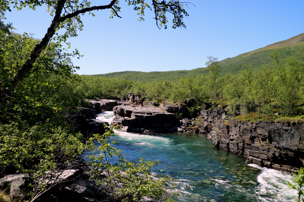 After ten minutes of walking, you are already stunned by the beauty of the arctic forrests and their wild rivers, overwhelming you after every bend with their beauty.
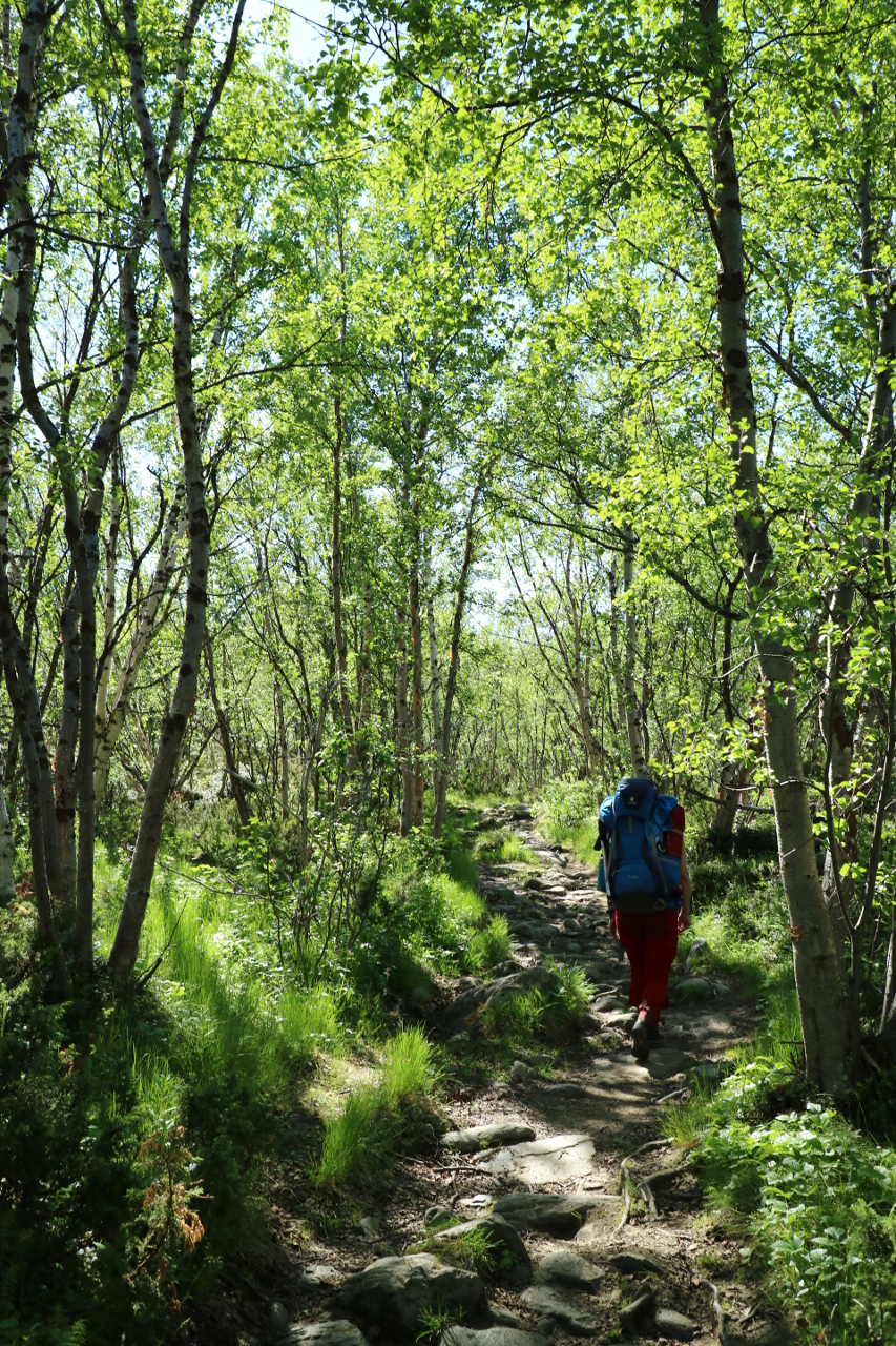
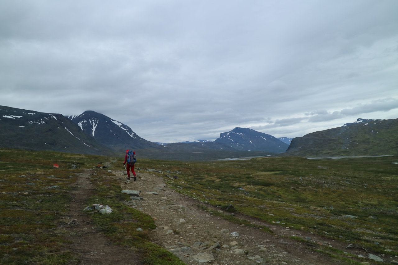
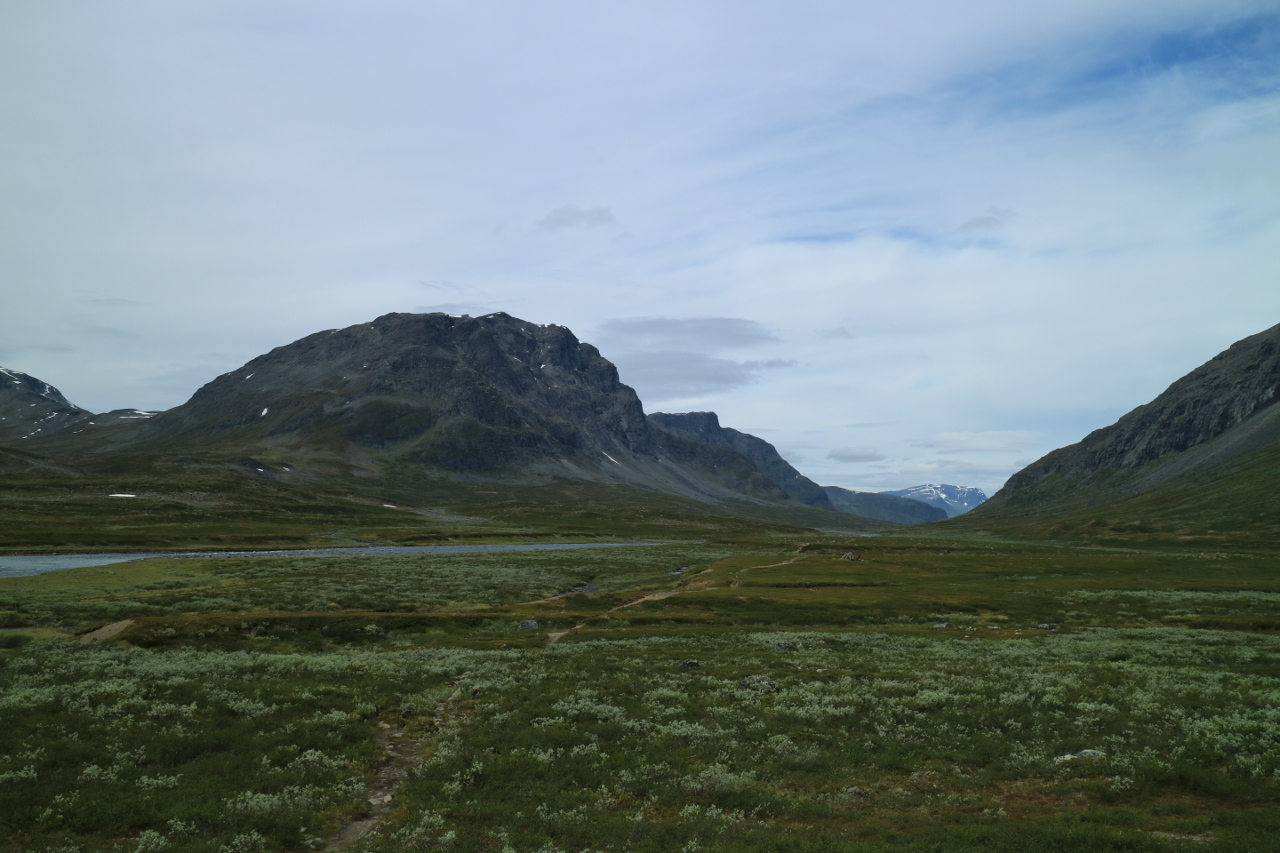
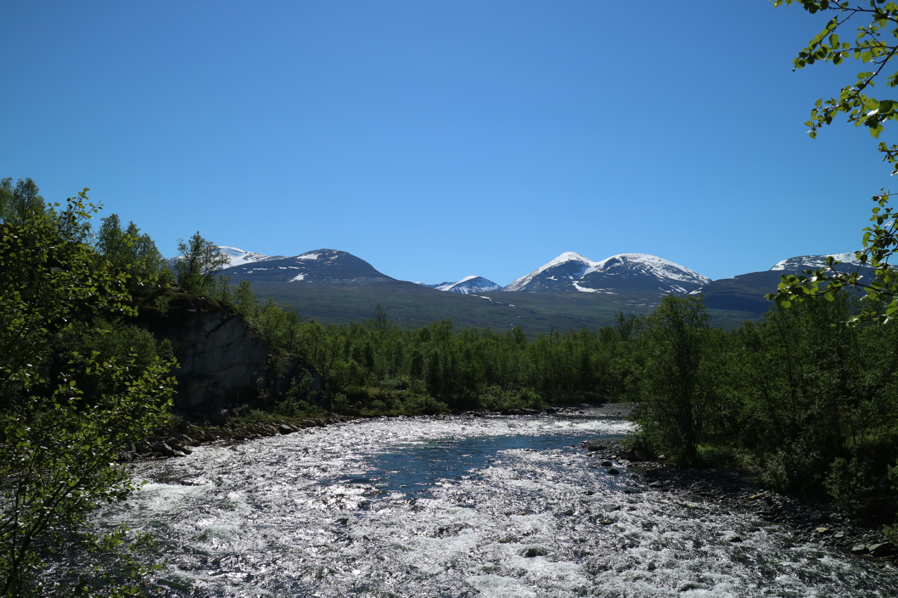 You get a glimpse of the mountain ranges, which will be your home during the next week(s) of walking. Following light trails trhough shallow birch woods, you slowly gain momentum towards the high valleys.
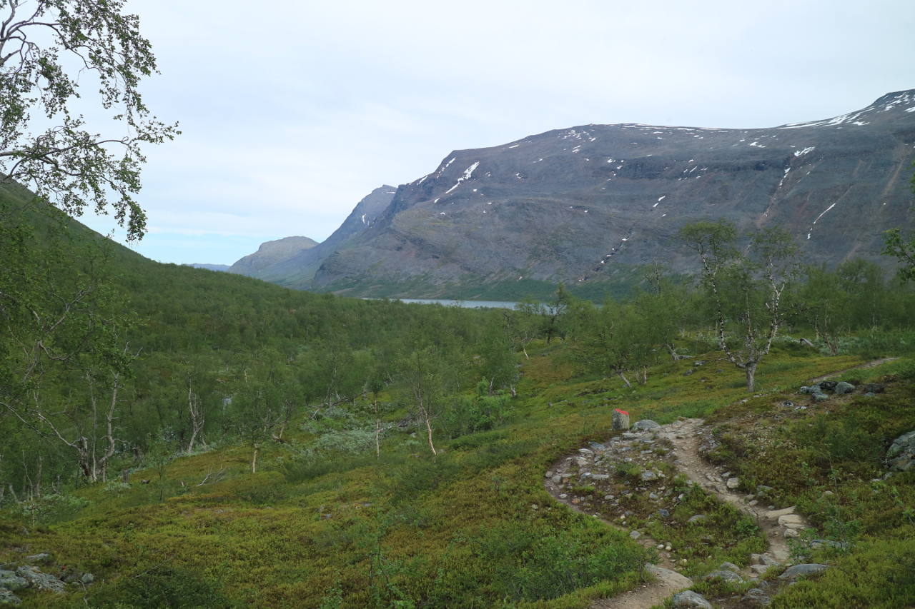
After more and more bends, you still follow the river of Abiskojokk, with its steep blocky bed changing to shallow oversights. 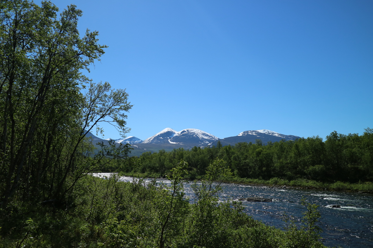
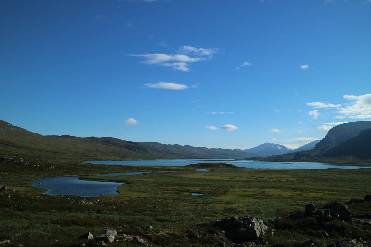
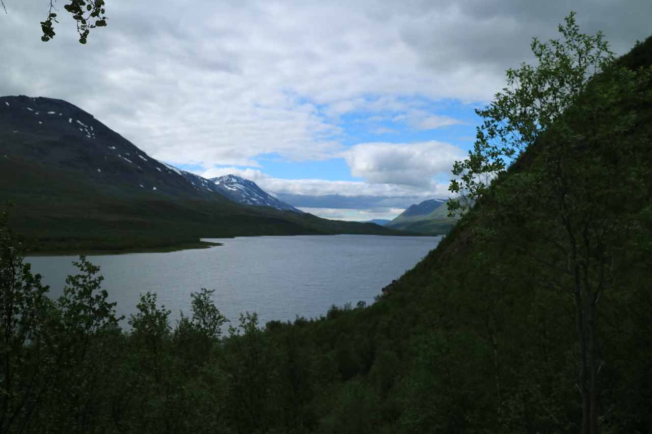
Finally, probably after you stopped believing you will reach it, you see the shores of lake Abiskojaure and you gain the impression that your afternoon will still be a long one. On the far end of this lake, you find your days goal.
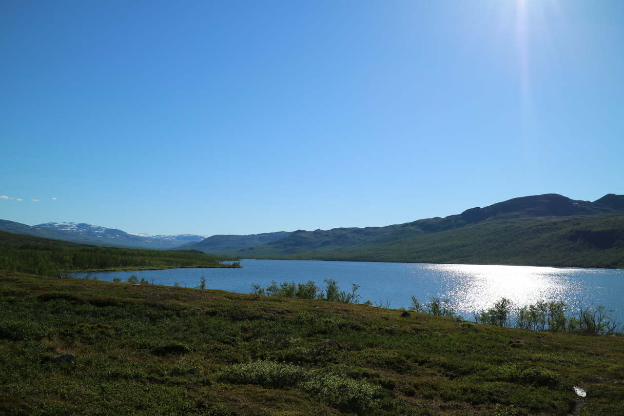 By now you probably have recognized that something with your middle european trekking speedometer is wrong, that you needed much longer for a presumed stretch and that you need some polarcircle adjustements.
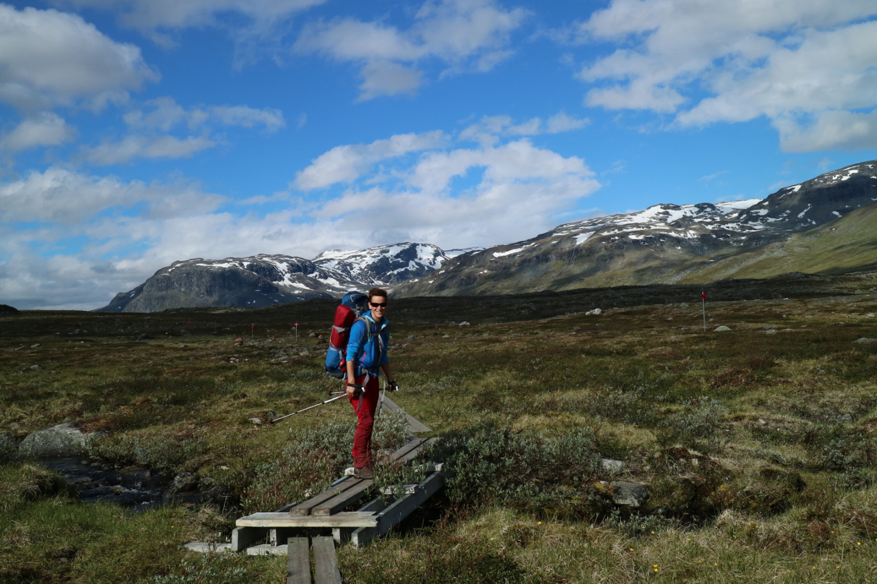
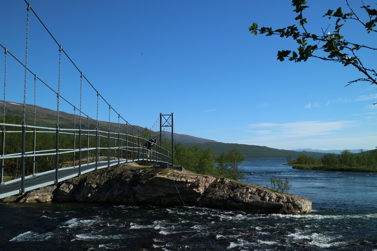 Nevertheless after passing your first of the famous trail bridges, which will repeatedly amaze you, you will eventually reach the Abiskojaure STF hut, your campsite of the day, or better the resting period, since there will be no night.
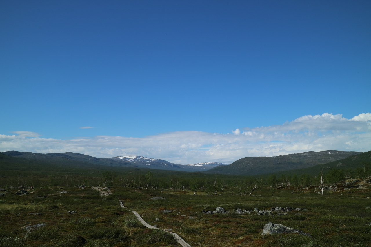 Right away the next day, you leave the Abiskojaure Valley straight away, leaving Abisko national park and most of the daytourists, which may stroll till this point in a light day hike and you start following the Sjellajohka river uphill.
By now, you probably found out that these creeks and rivers are your primary sources of hydration, allthough you may get supplies from the STF huts, but at a little helicopter-hut-supply-premium.

After a felt half a day of hiking, you turn over the ridge into the next valley, and suddenly realize that this will be a long day hiking, to your next STF station at Allesjauresturgona since your map says, you recently started walking.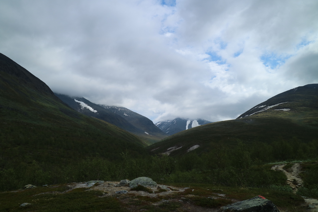 Since the map says, you will follow most of the day some lakes, and there is no lake back and forth at this point, you may realize here that you are in arctic high mountains and time and hike definitely have another pace. Finally, when turning into the valley of Garddenvaggi, we are leaving the tree line (and the midges) behind.
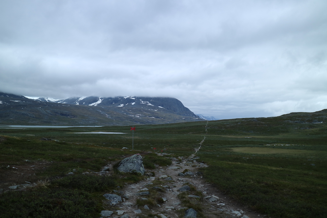 This is where I was about to leave my comfort zone. The trail along the river Aliseatnu is a stretch, but flatens out reasonably. You pass the lakes of Ahpparjavri, Radujavri and Alisjavri. At the later there is a pickup place, marked by a yellow flag, which you have to raise, to make the Sami boatdriver aware that there is someone to be picked up and a shelter hut which was highly welcome during the hailstorm companyying us for the last two hours. Sorry there are no pics. Before reaching this point…
 we passed even more of the rare shelter huts, which are marked on the recommendeable Fjällkartan but not easily sighted in the wild.
 Then we passed our first Sami village in the distant, probably still accompanied by the helicopters supplying these settlements. Finally, after the longest day of this part of the hike, even if you took the shortcut by boat, you reach Allesjaure STF station.
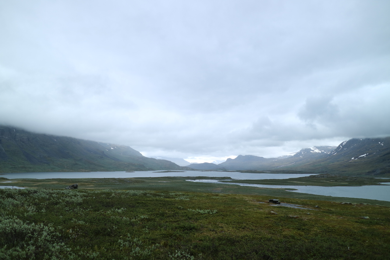
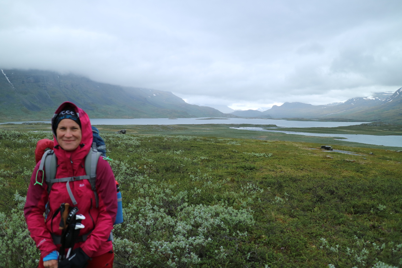
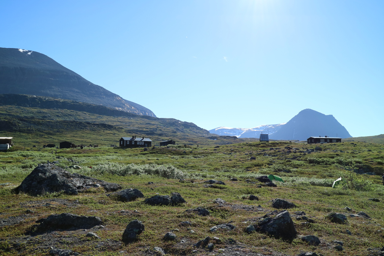
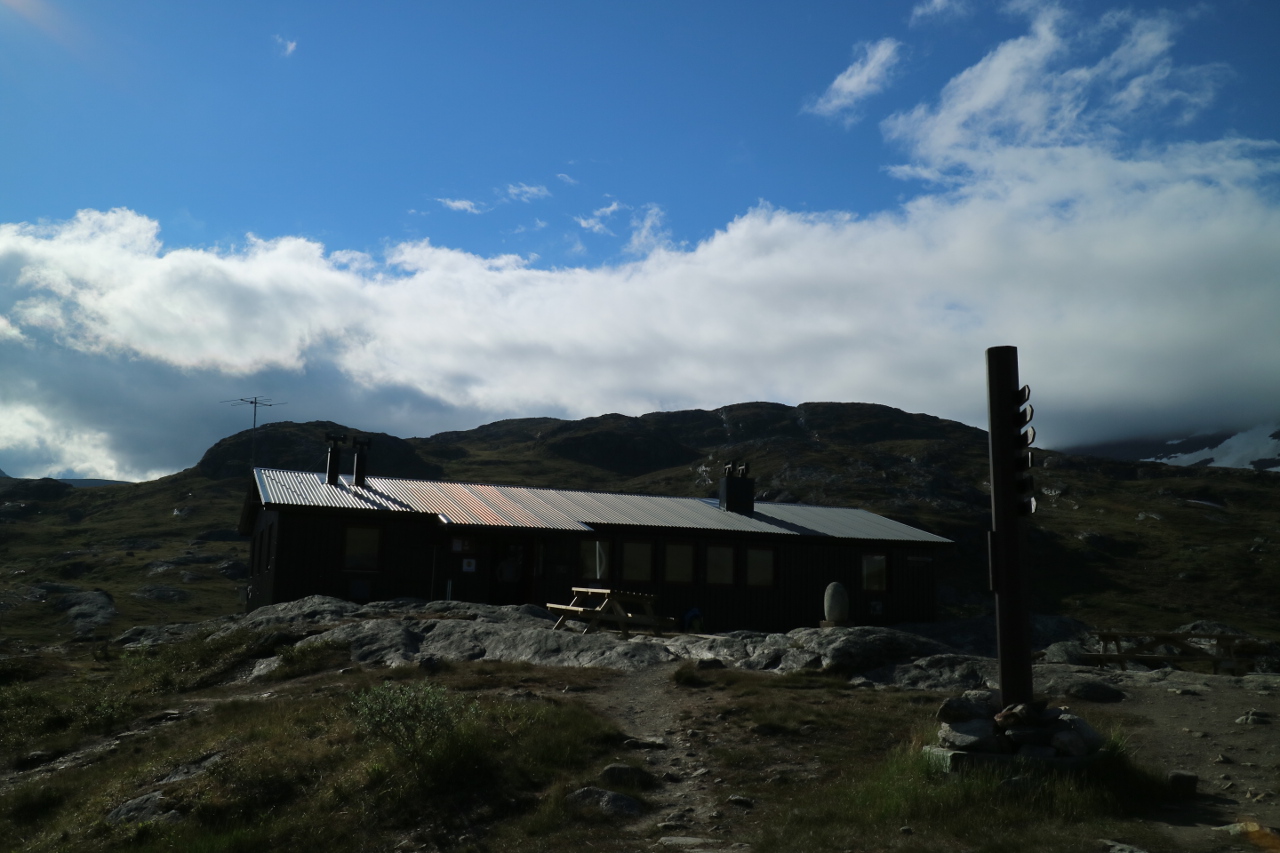 Its a remarkable big station with quite sume luxurious cabins and abozt 86 berths. Its exposed setting on an twenty meter high rock, rewards with remarkable views.
 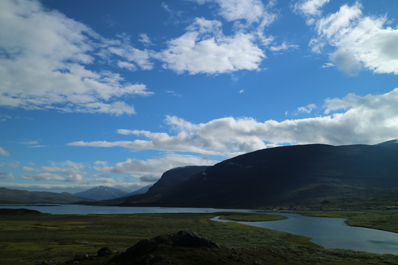 In the proximity of probably the biggest Sami village, likewise named Alisjavri on your trail, it allows you to rest, and enjoy a detour for karibou markings or one of the biggest waterfalls in Skandinavia behind at Tjatjajaurekatan. Or you may simply enjoy a luxurious bed, after you got stock in nearly the worst wether you could have imagined during this time of the year, as we did.
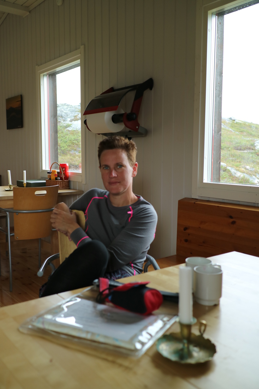 So in this case we dried all our stuff and thought intense during a day of rest, if or how to proceed, watching a lot of hiking company, turning and heading straight back to Abisko.
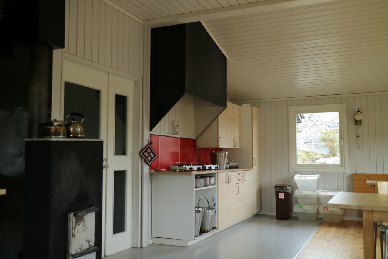
After some extra hours at this heartwarming oven, the doubts got steamed away and we started to look ahead imagineing the distant Tjektija pass and the highest spot of the trail.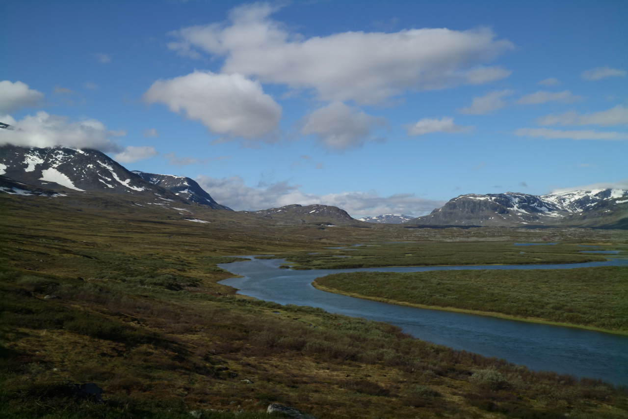 The next stretches looked relaxing, just gaining a little hight through out the days, vollowing two more valleys, mainly along the stream of Alisenatu.
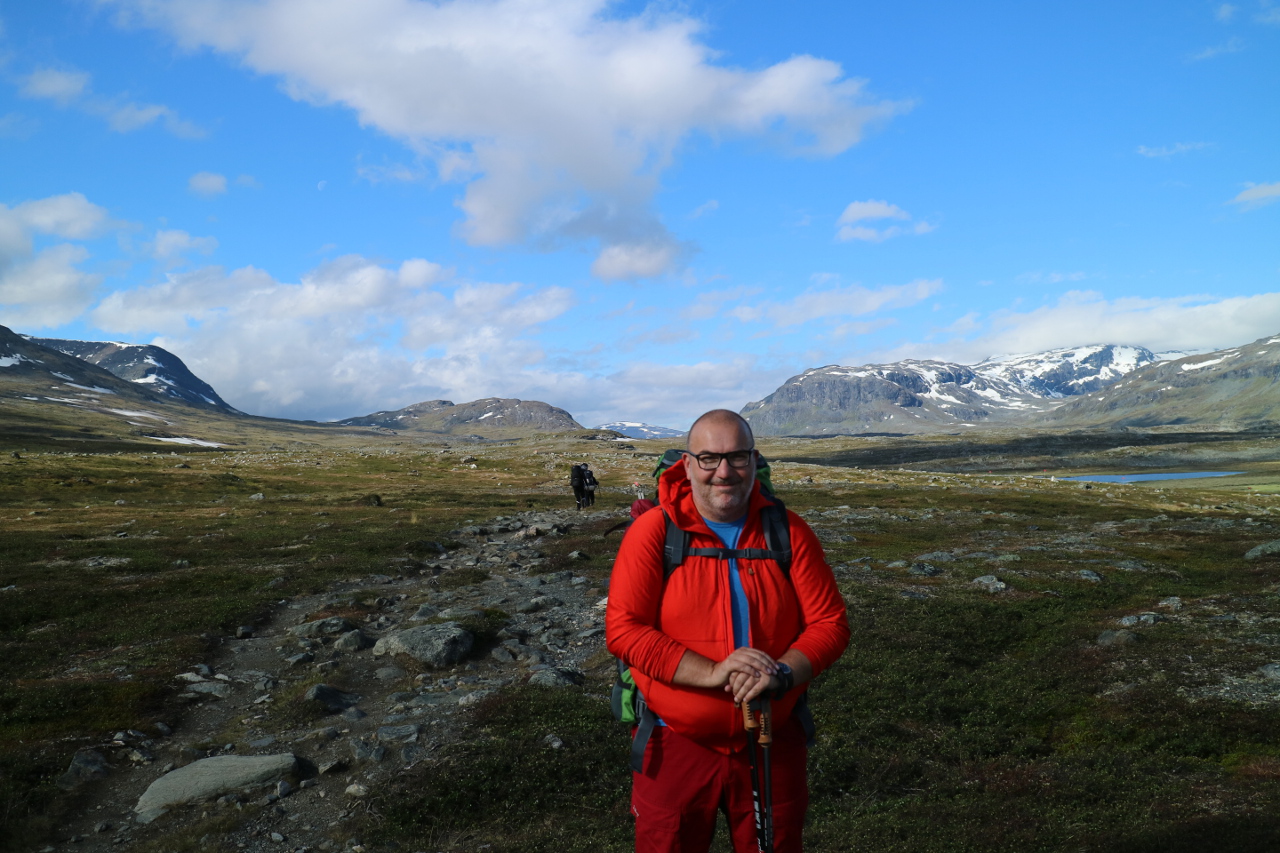 The trail winded and winded and the gaining altitude was only percieved by the occaional view back, seeing the left cabin at the lake shores.
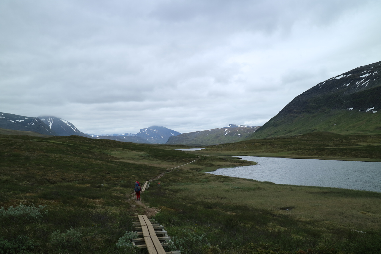
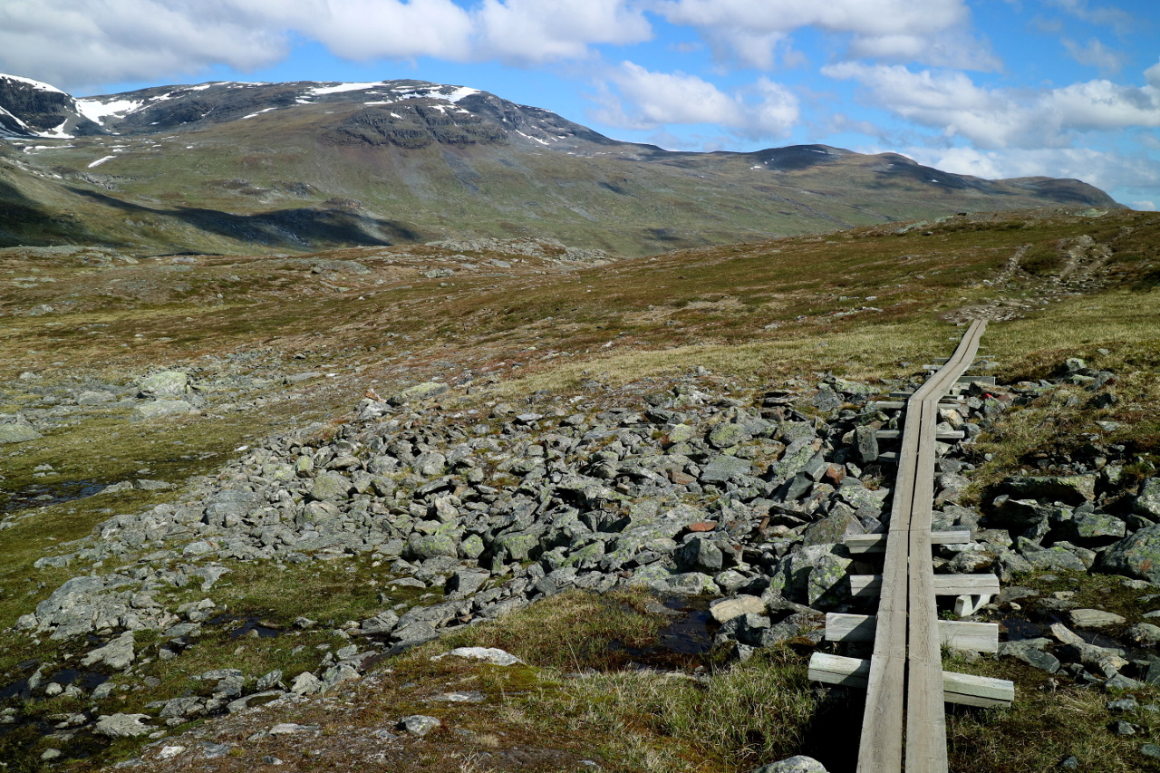
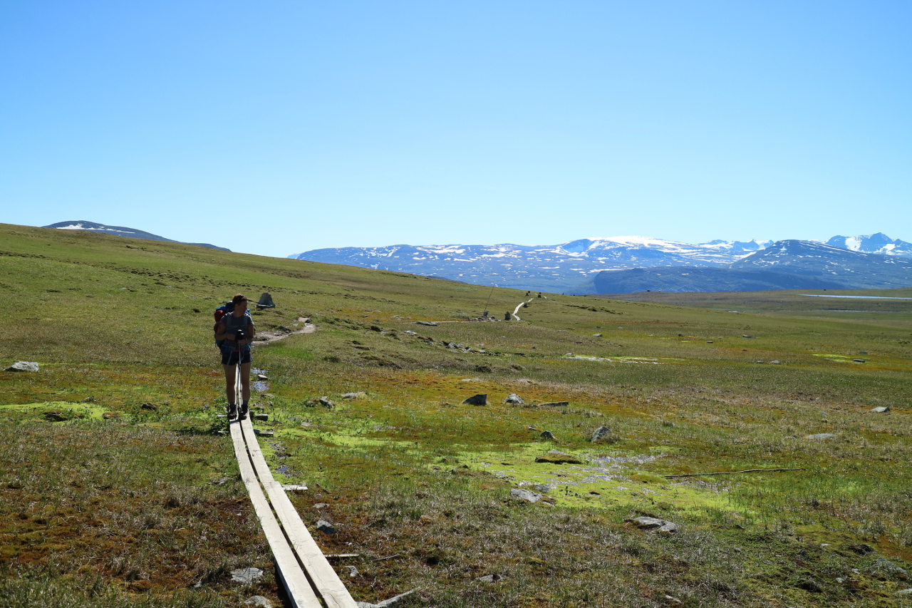
 The weather remaind solid, at least for the foreseable future and the trail changed between the planked baths over wet and mossy swamp or the blocky, rocky fields we started to name troll meadows.
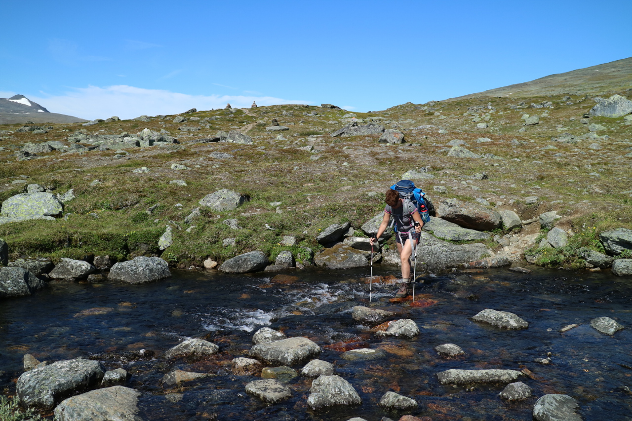
 All over all sideways or along the path we passed creek after creek and headed deeper into the mountains.
 Passing Creeks.
 And more troll meadows.
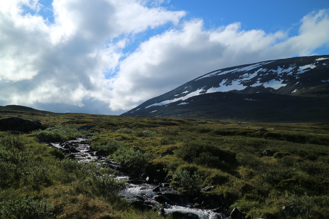
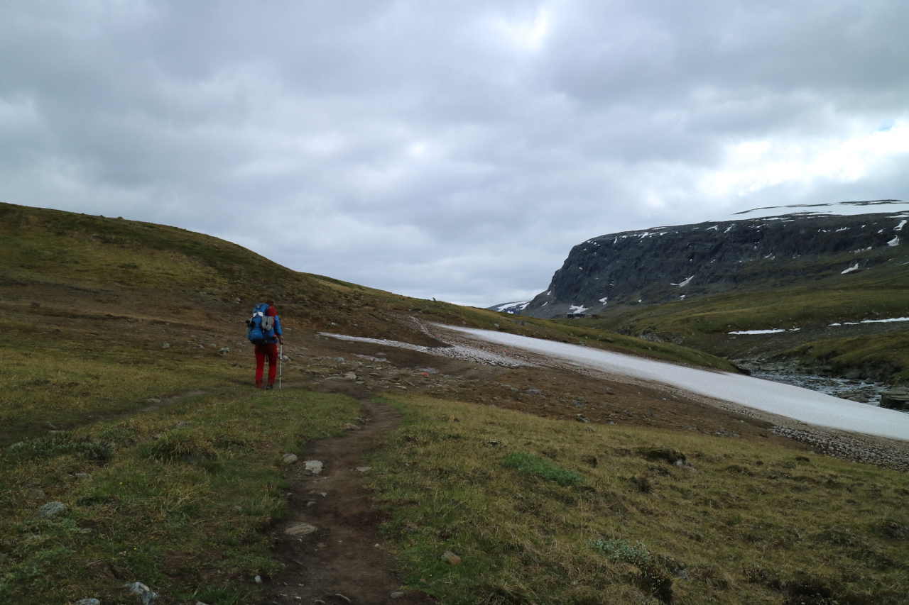
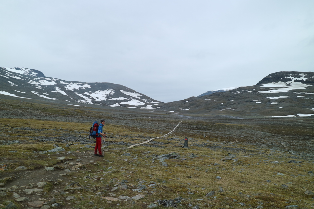
Gaining hight over the day, we wind up the hills more and more towards Tjäktja. 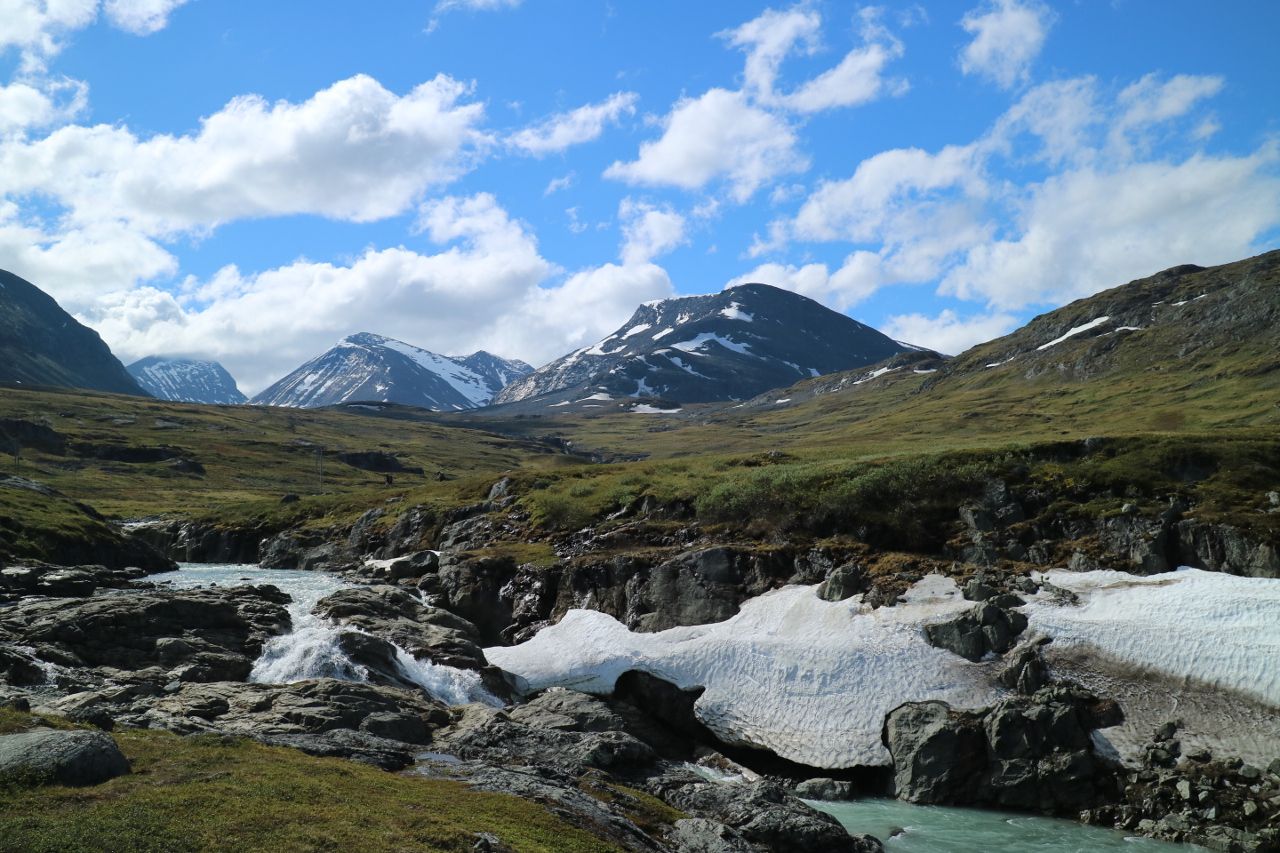 And finally we pass teha ltitude were even in July still remains snow. Snow fields and rocky blocky trail passages take their turns and allthough the weather is fine, it takes its toll and is more and more exhausting.
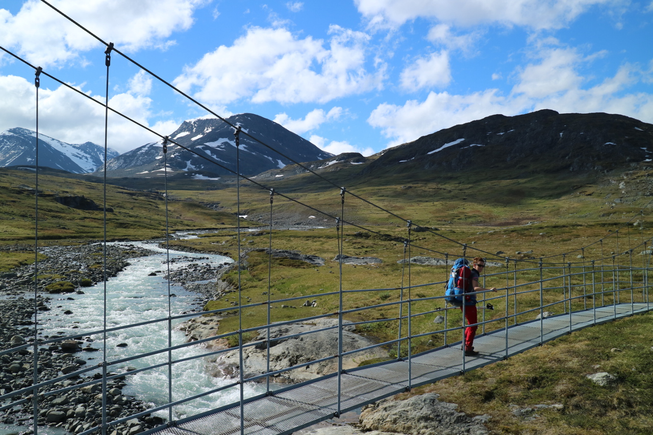
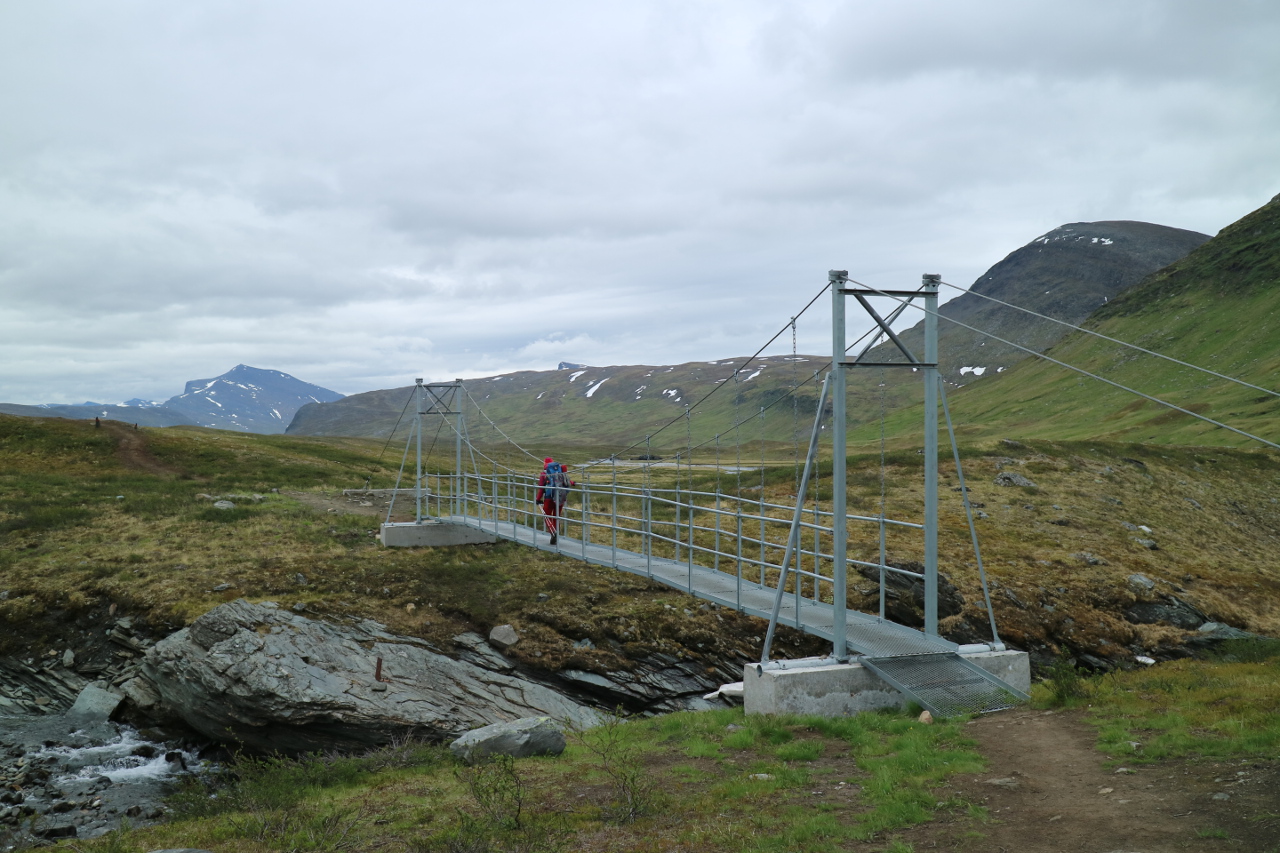
 More of the favourite steel bridges, being marks for the progress, show up.
 And the trail even starts to follow creeks – withint heir flow.
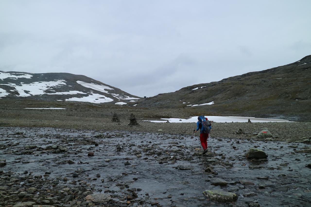
 Turn after turn the path sneeks closer to Tjäktjastugan, the hut before the pass and goal of the day. And even more rivers to pass.
 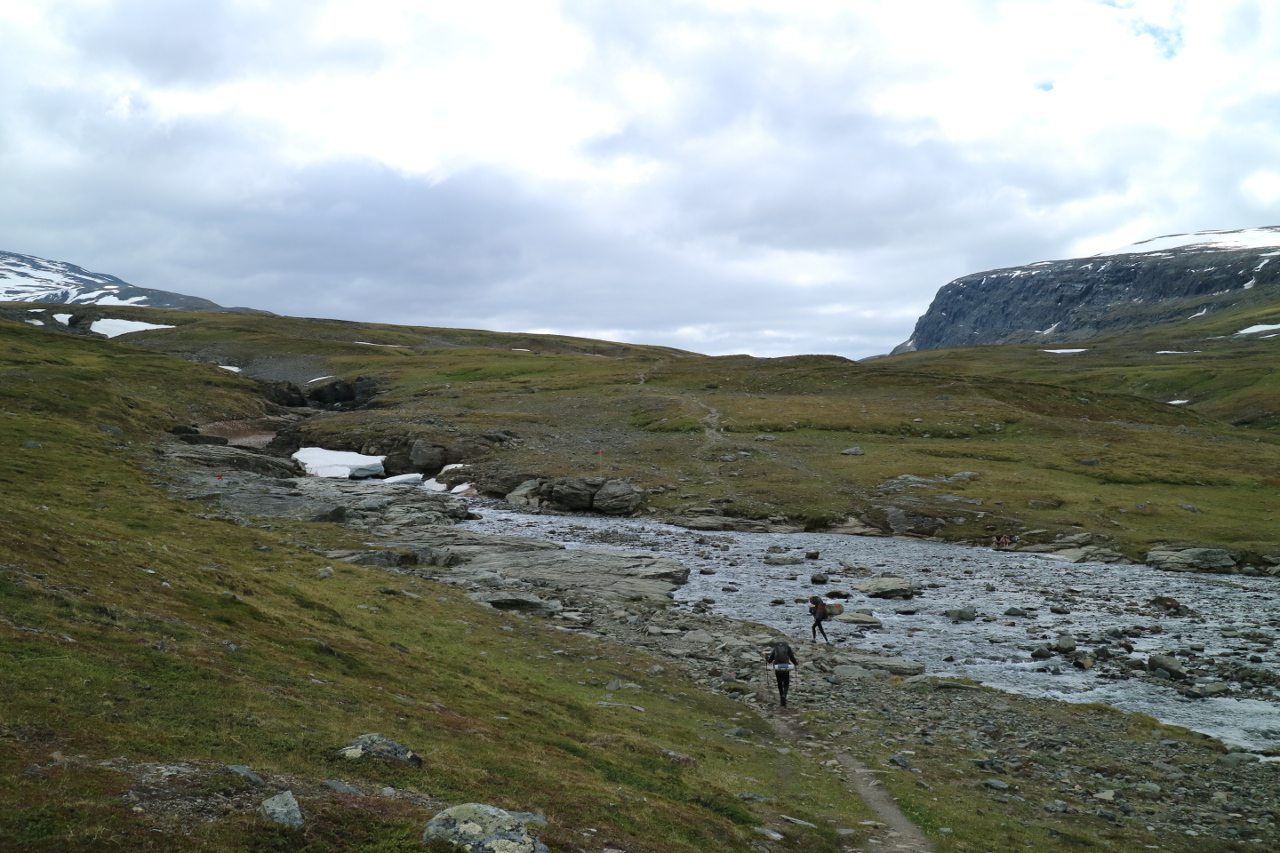 And finally the days resting spot shows up.
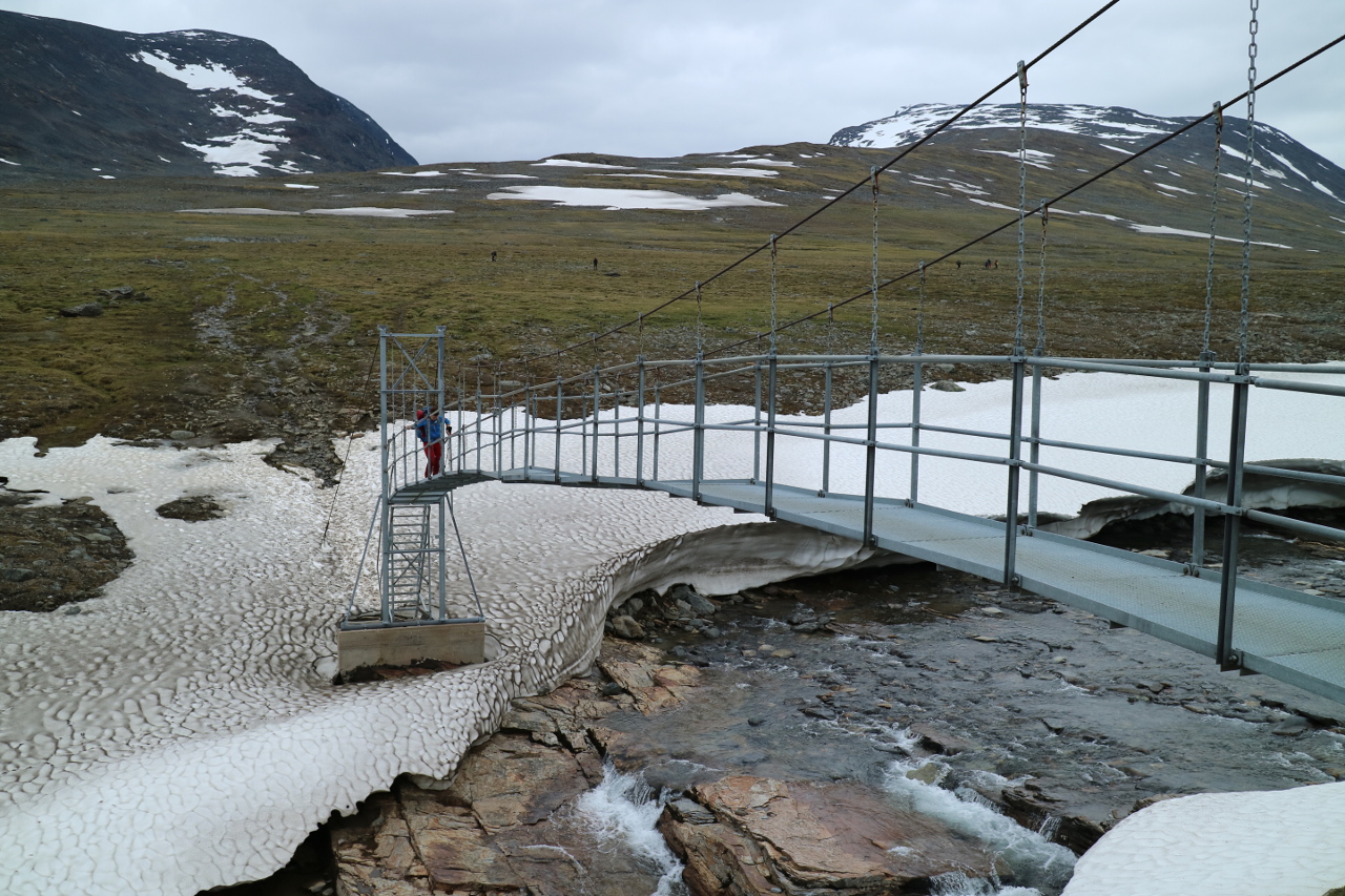
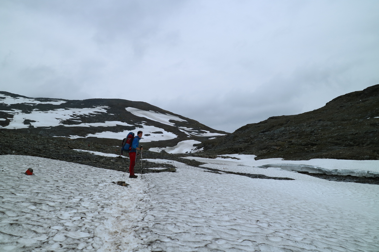
 Not without granting us some more snow passages and the most remarkable bridge of the northern kungsleden.
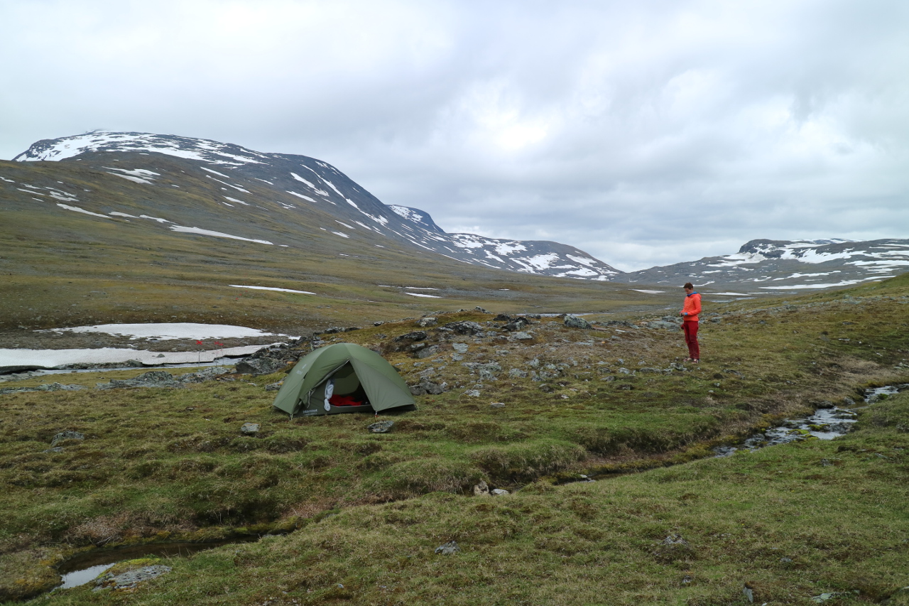
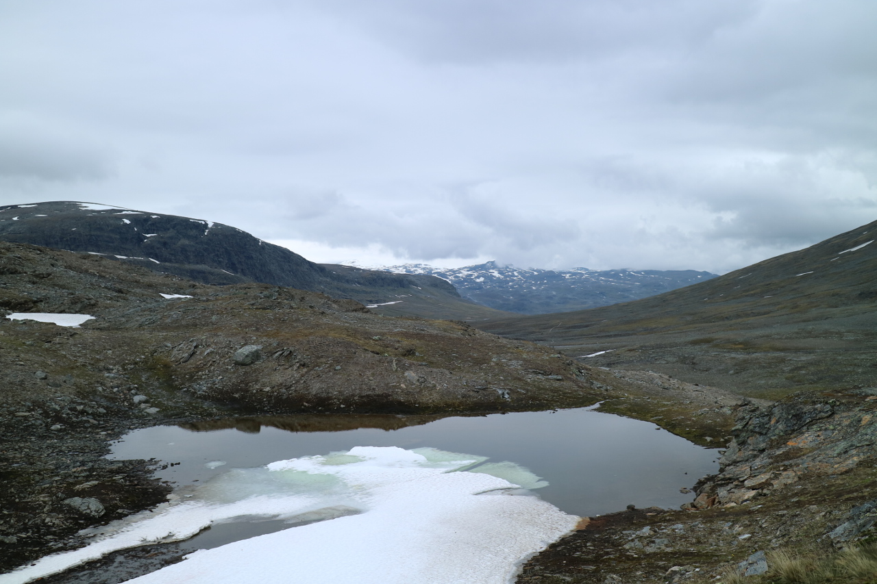
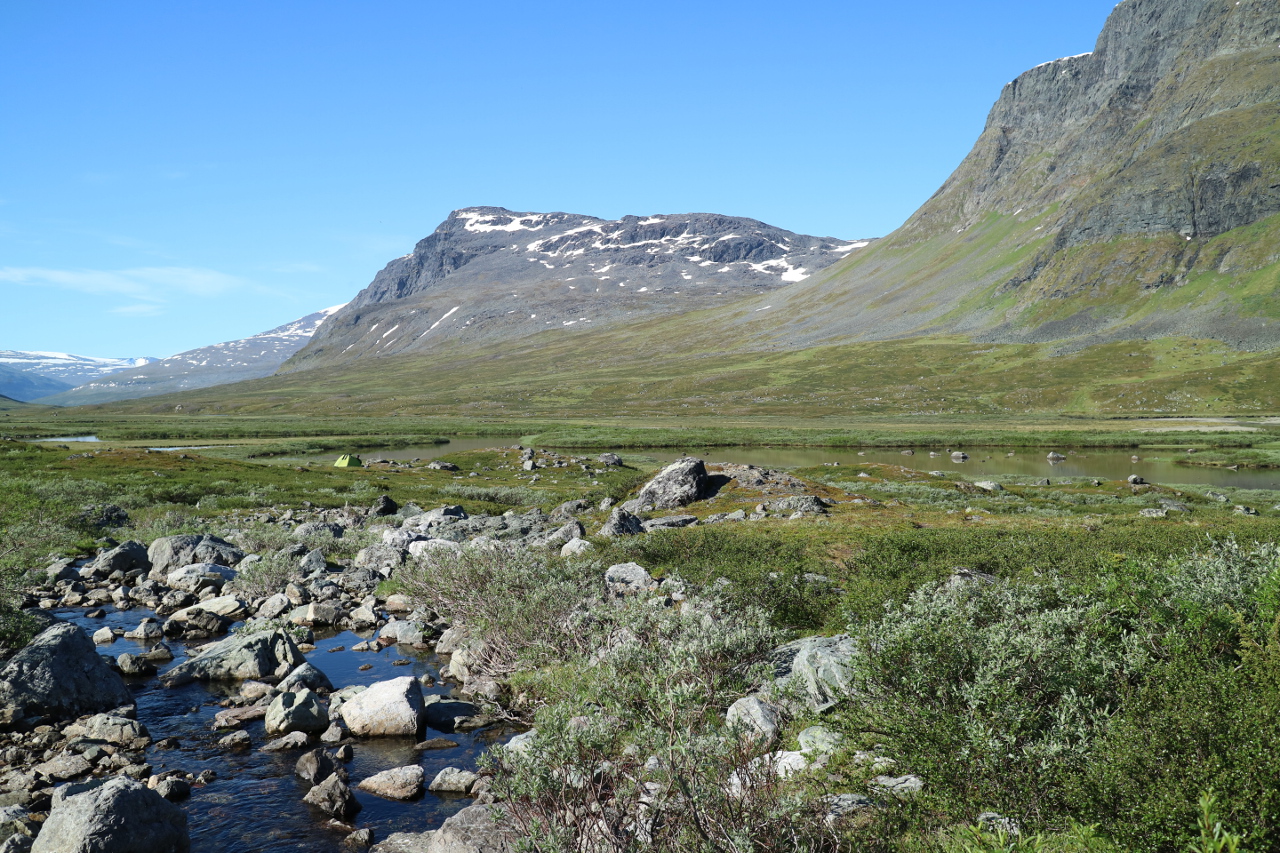
 The reward is one of the most awesome camp spots, with an extraordinary view and all the luxury some flat ground and flowing not frozen water may provide.
 The weather was nopt reported to be stable, so the tent was fixed with every stormline we had at hand and quite a share of rock, which is available in numbers.
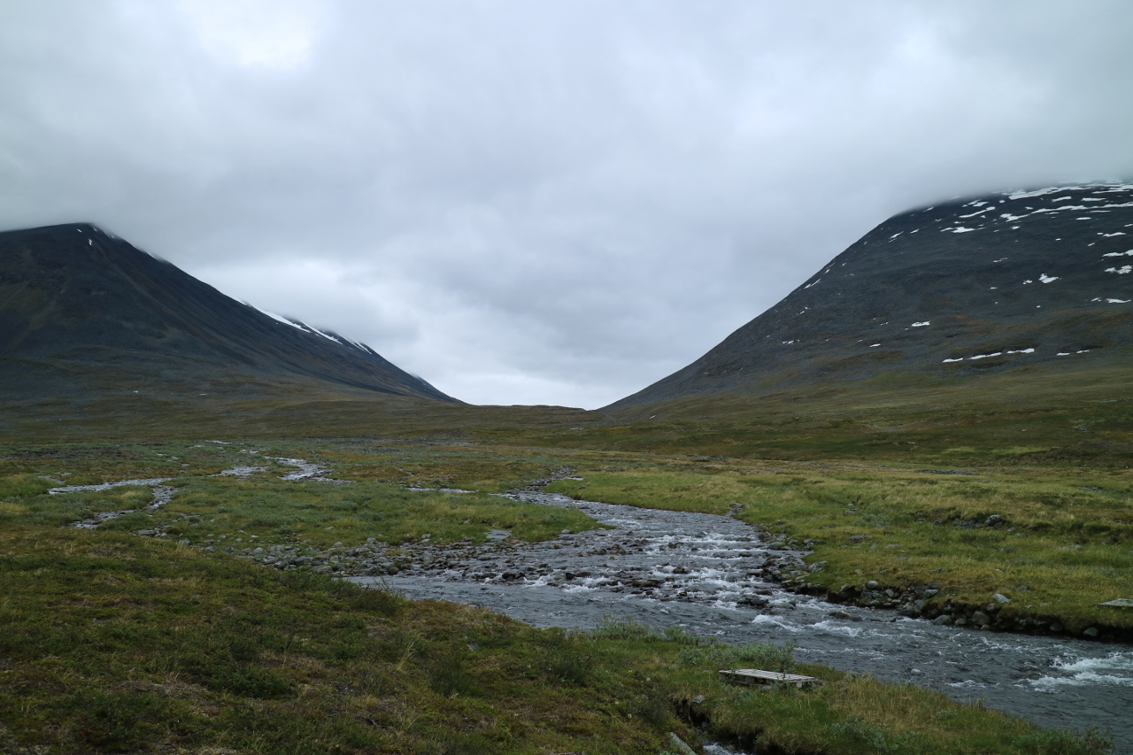
 Next morning there were still three hundred meters of altitude to gain, up to the hight of Tjäktjapasset at 1150m. The valley is now mainly rock
 and water
 and snow
and ice.
 Eventually we passed the summit and had been proud like hell, since this seemed to be the peak for the next days. And thanks to the nice swiss guy, who took this picture of us. Probably the only one of this trail showing the two of us.
 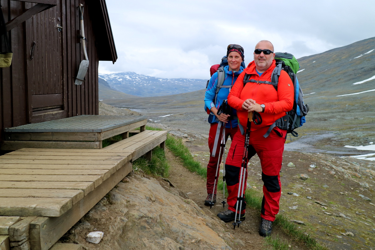 The following decent was deflating and a reminder, first of what may be coming and second, that walking Kungsleden south to north may be a bad idea.
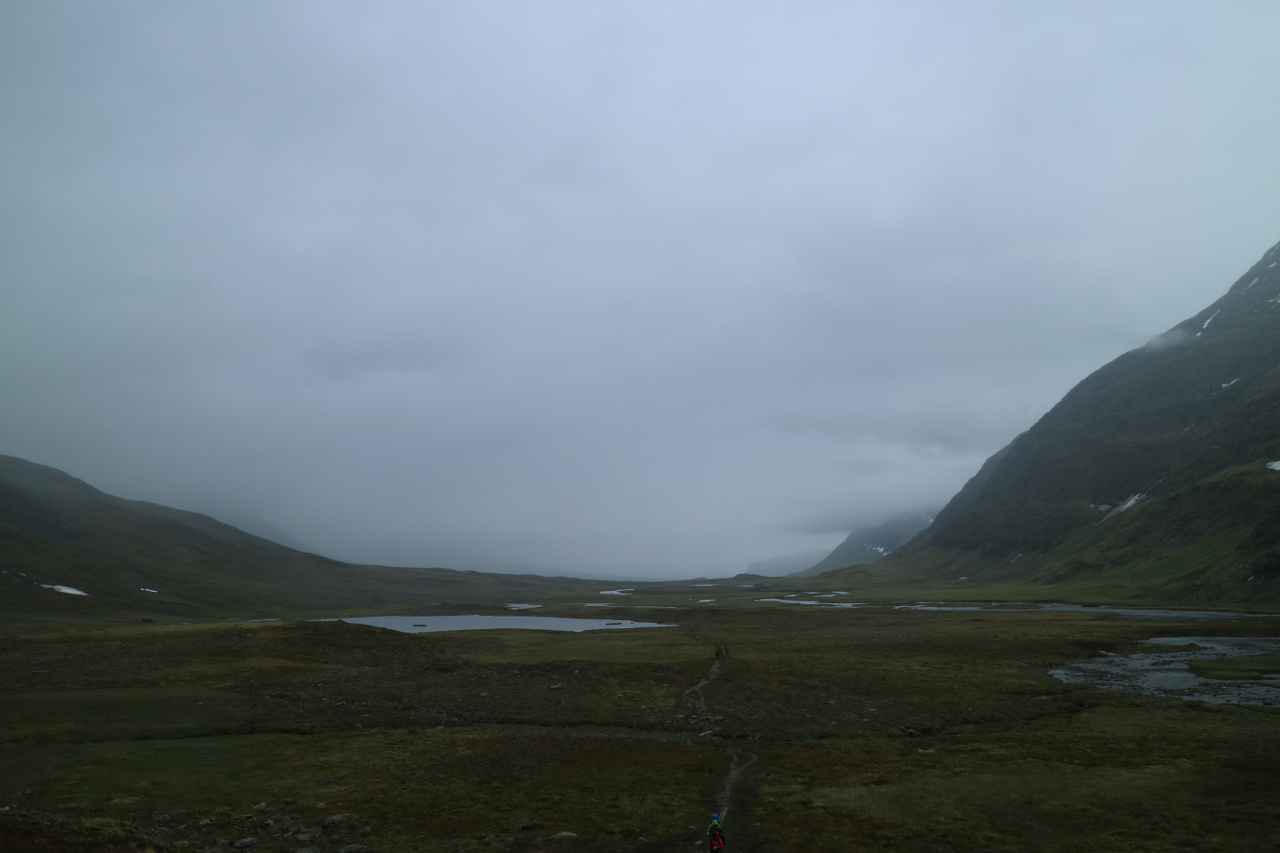
 The outlook in the valley of the Tjäktjatakka river nevertheless was rewarding, allthough some more dizzy weather was craling up the stream. The walk to Sälka looked never the less straight forward … not being imaginable that the troll meadows may reach a new level off annoyance.
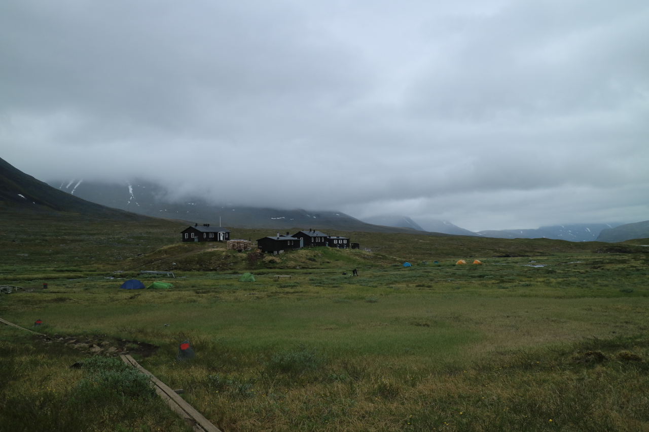
 Luckily the Sälka fjällstation was hard to miss and we put up tent quickly.
 The next day was a longs tretch of walking, straight ahead through the same valley. No ascents, no descents, only some creeks.
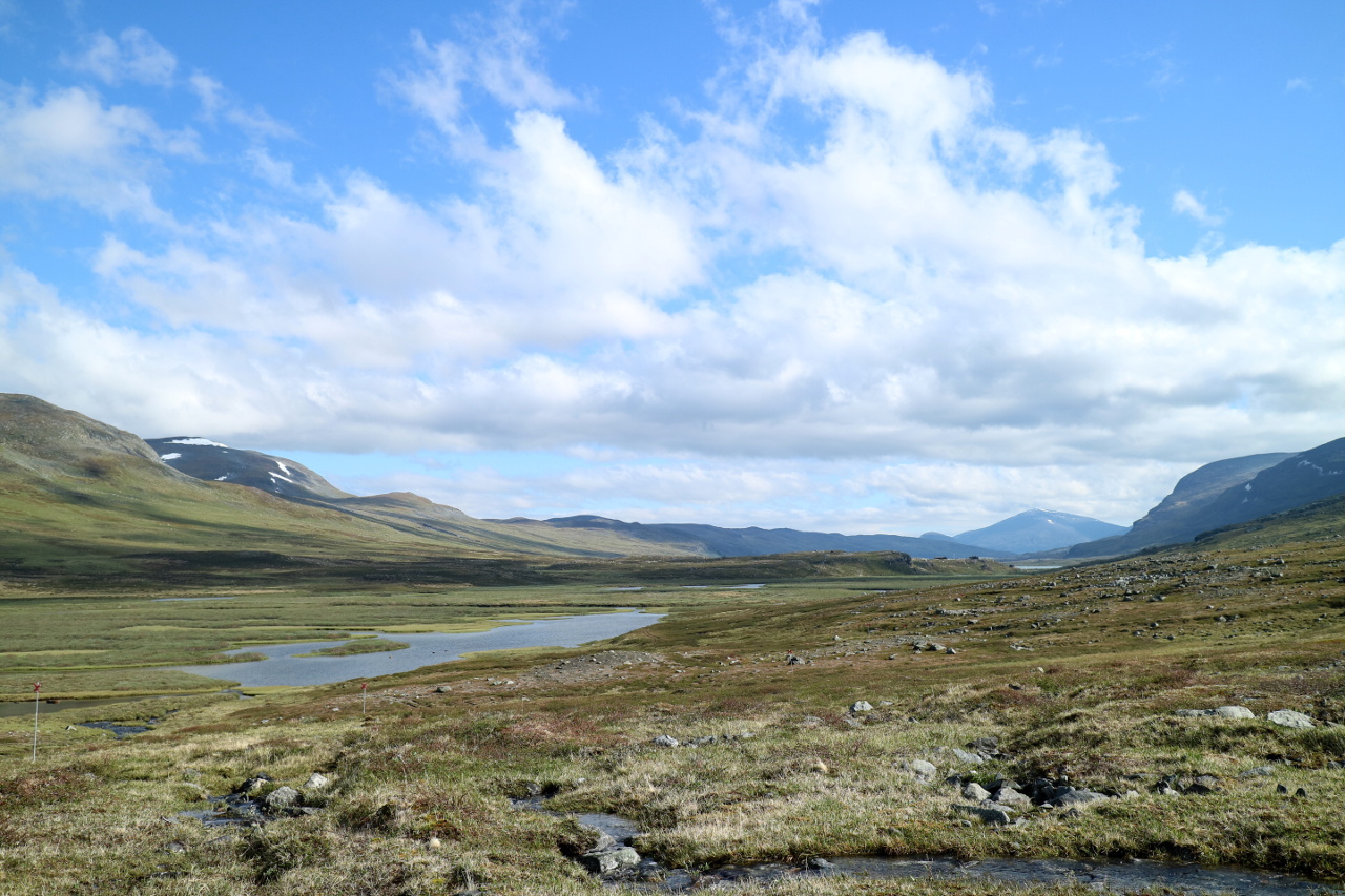
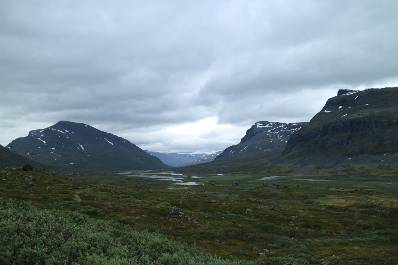
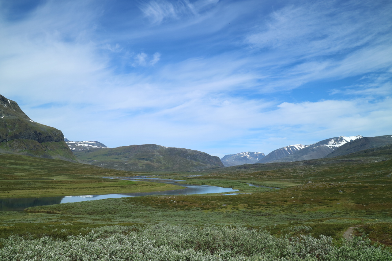
 The dizzy weather started to fade away and gave room for veryre markable impressions of this long high valley.
 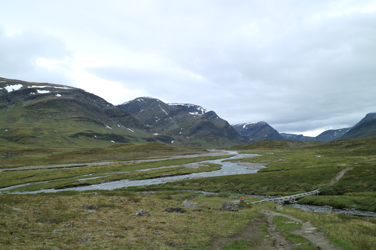 Again bridges mark the progess of the path,
 asw ell as creeks to pass without bridge keep us busy.
 Nevertheless the trail was easy to find and follow and sometimes even mud between the rocks allowed our feet to rest.
 Slowly turn by turn, the Sami settlement of Singi crawled closer,
 allowing us, top ut up our tent close to Singisturgona, the STF station. Believe it or not,fi nally in rapidly clearing weather.
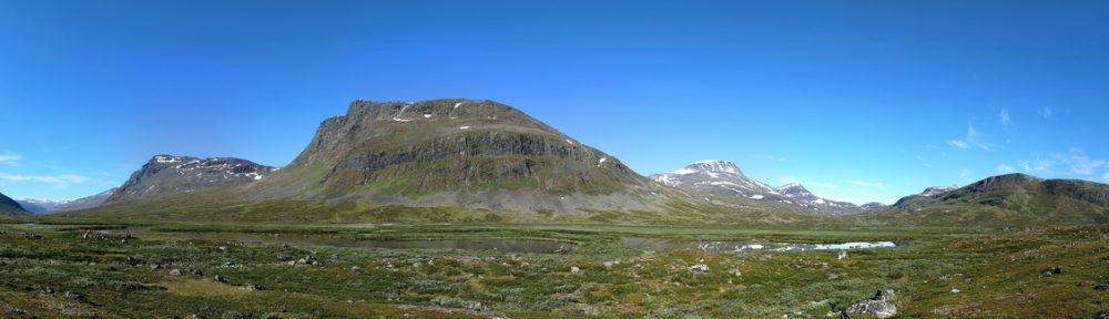
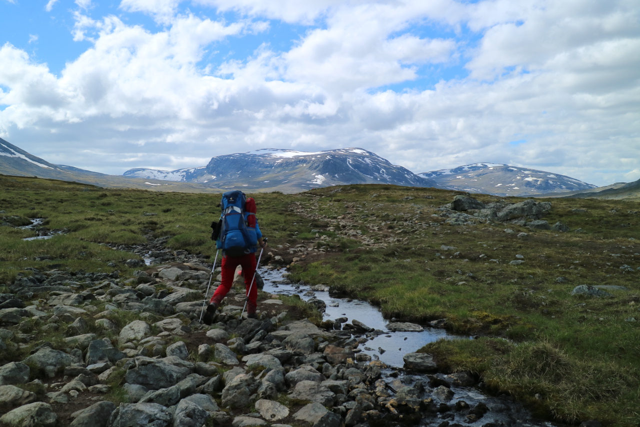
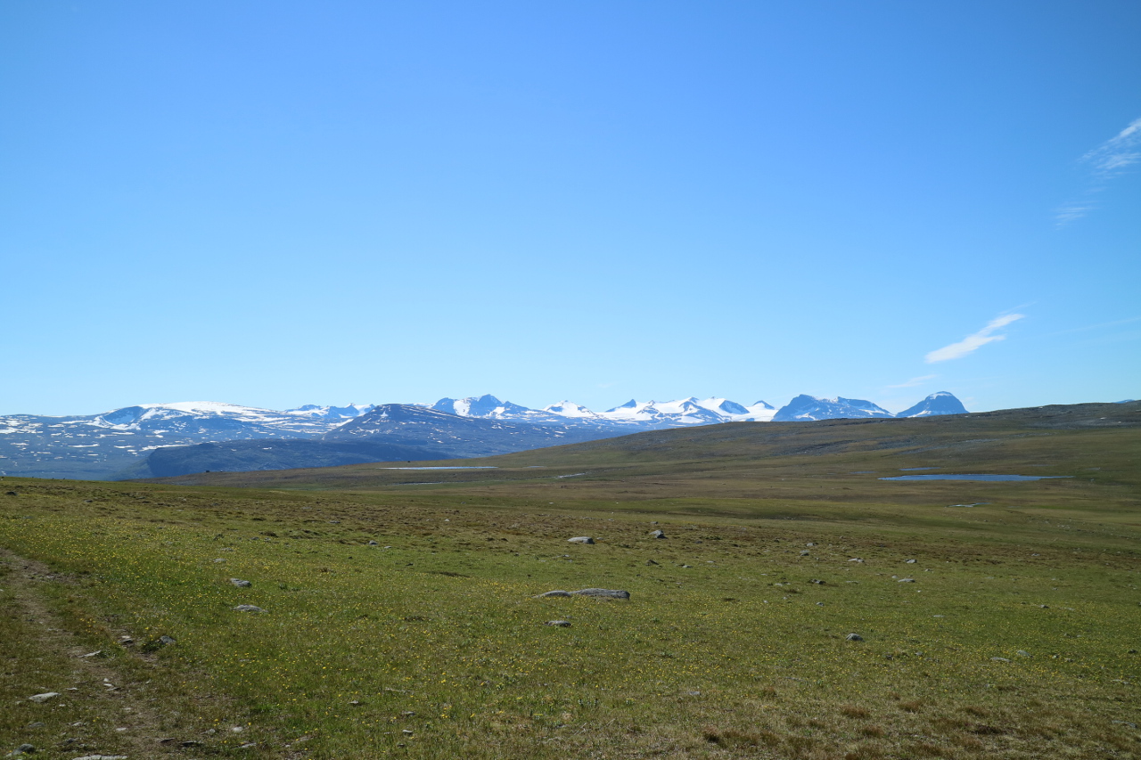
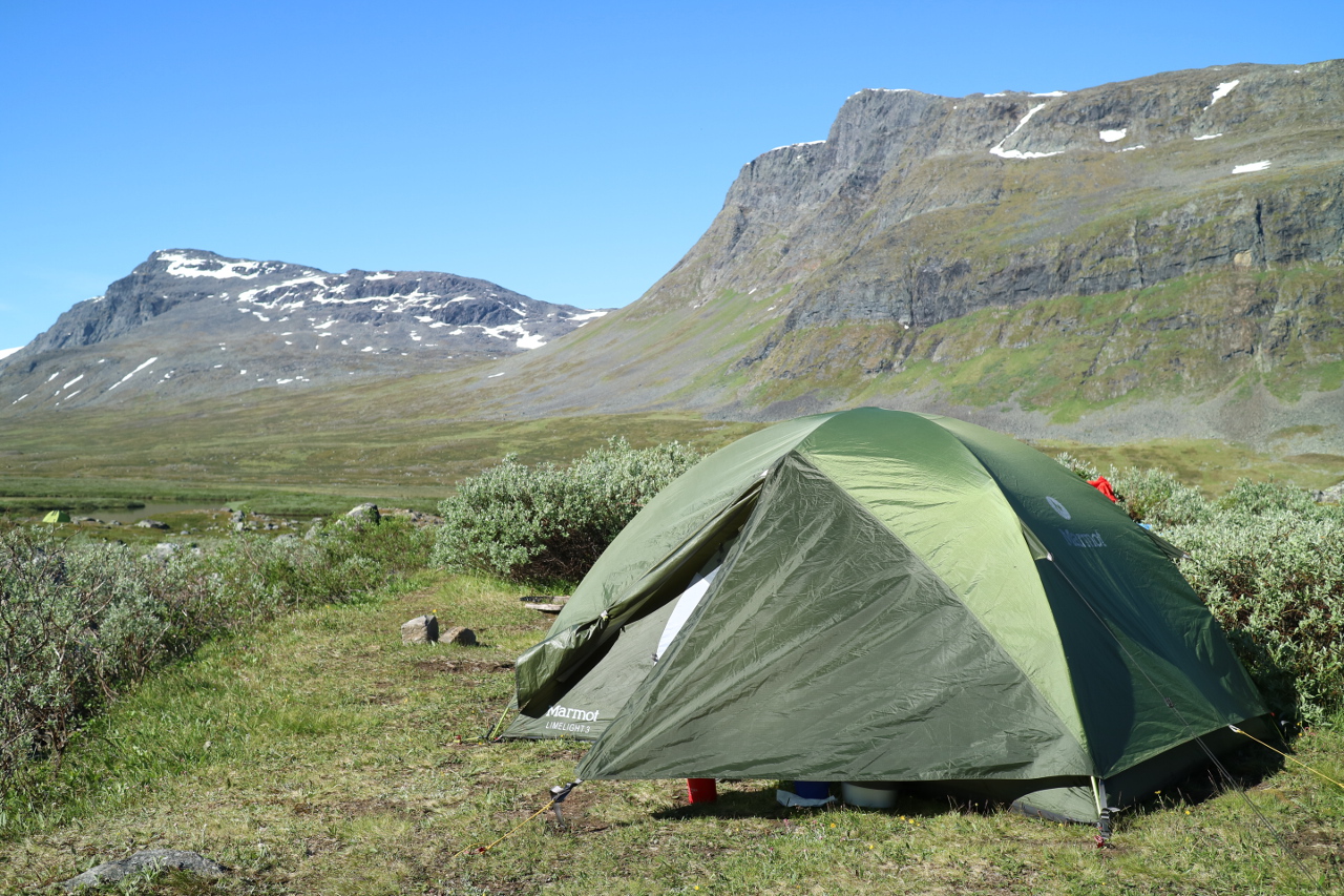 Around the station there are remarkable views of the hills, which resemble some of the highest in sweden.
 Here the branch depards leading to Kebnekaise, the highest peak of Sweden and out of the Fjäll to Nikkaluotka.
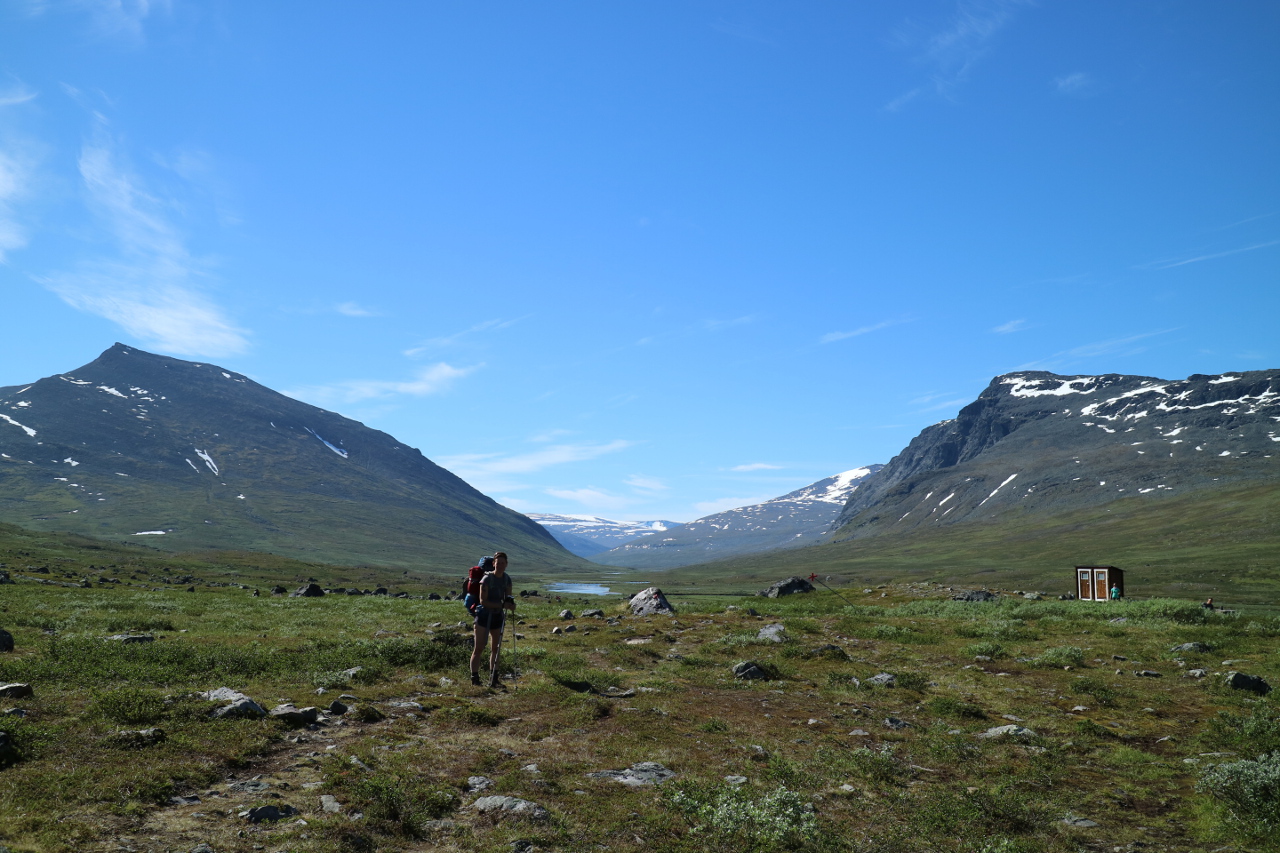
 Starting the next day with an awesome view out of the tent, this had been a very inviting spot. The stugvärt – warden of Singi showed us the way further down the Tjäktja valley, we said good bye to the majority of the Kungsleden Trekkers. Most of them headed towards the near exit, which is popular for the Fjällräven classics.
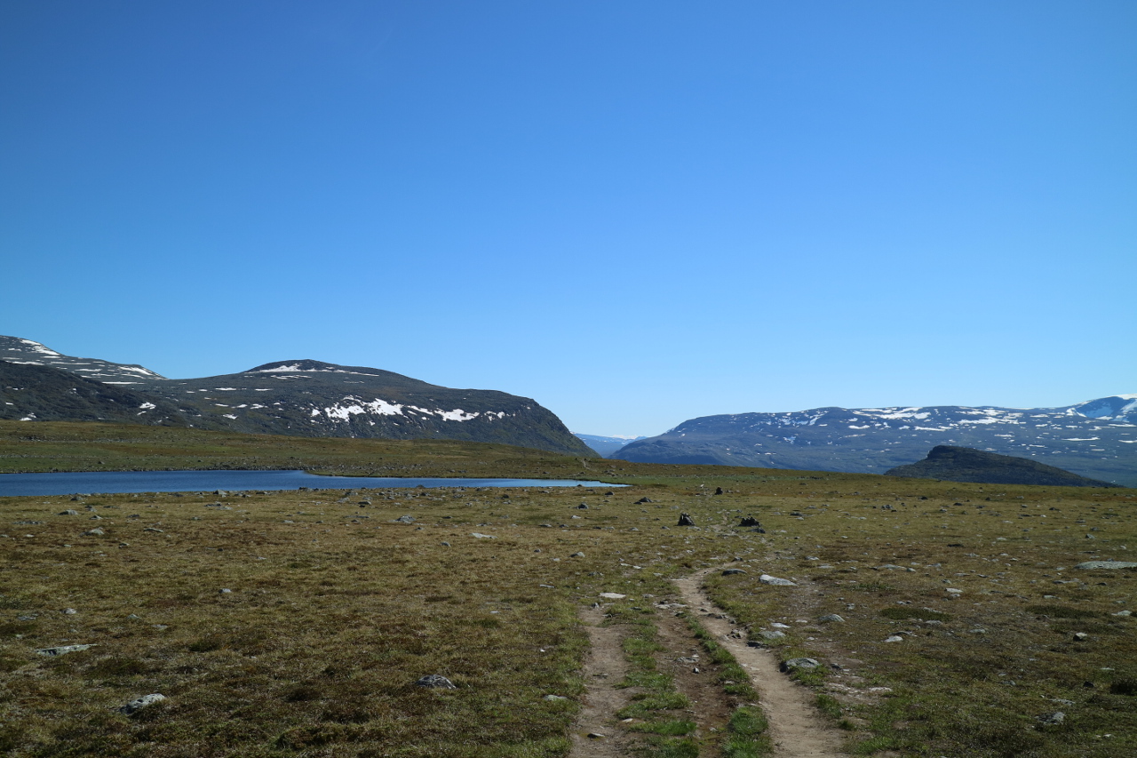
 From here the path was by far not so washed out, marked and populated than so far and it became a real lonesome hike towards the lake Padje Kaitumjaure, the spot for the next cabin.
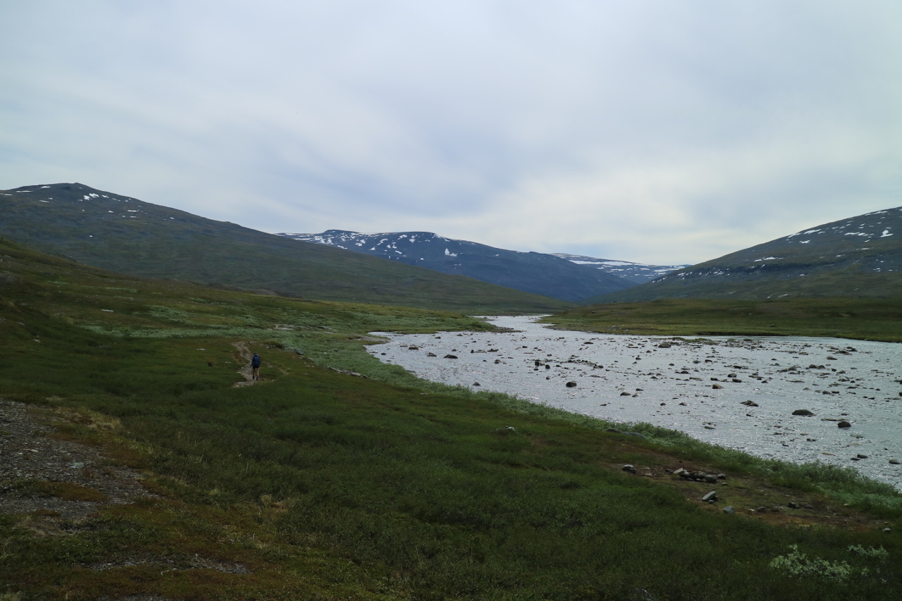
 The walk was mostly relaxed, although a bit stretchy and the sky was getting a bit more greyish, but we followed simply the stream heading into that fjordous lake.
 Some trekkers passed us, and by now we knew the ones merely walking our speed and showing up on the same campspots. The walk became nearliy meditational and we put foot before foot, getting more sensitive to the landscape, the water and the wind. When we finally saw movement, we sneaked closer to the river.
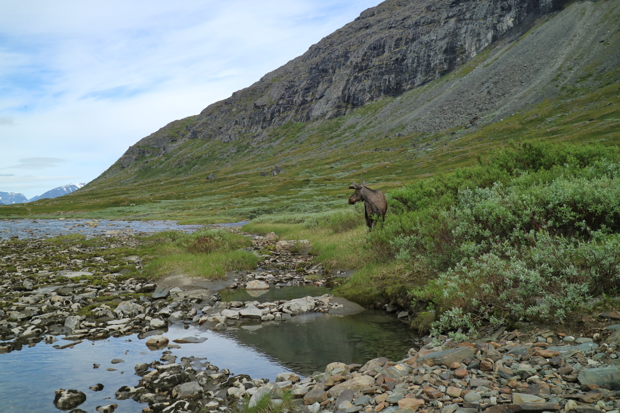 Where a moose had started to observe us, during his lunchbreak at the river banks. We managed to get close, since he obviously considered himself to be mor a threat to us than we to him.
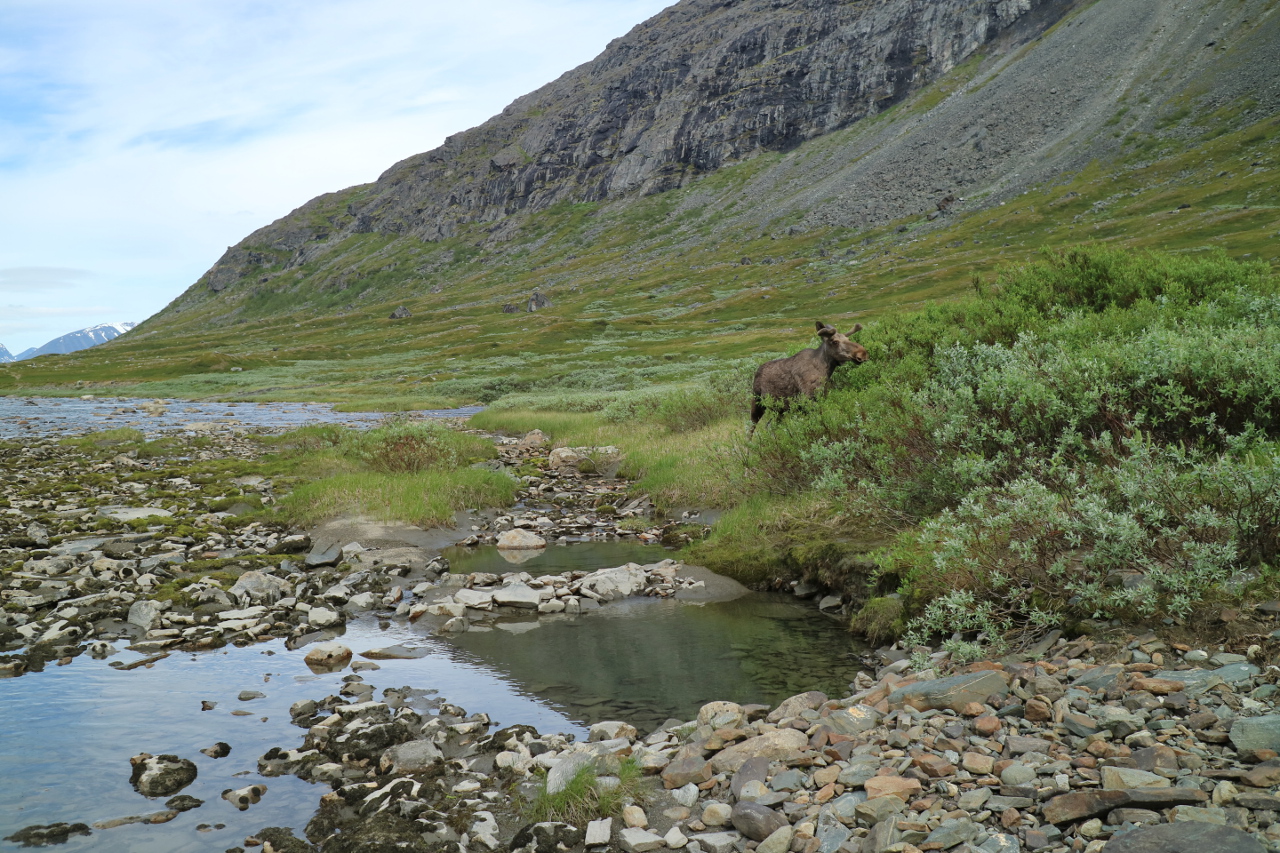 The young male was obviously right, untill a low passing supply plane for the STF station at Kaitumjaure flew by low, causing the moose to storm towards us, and then passing by at an arms length.
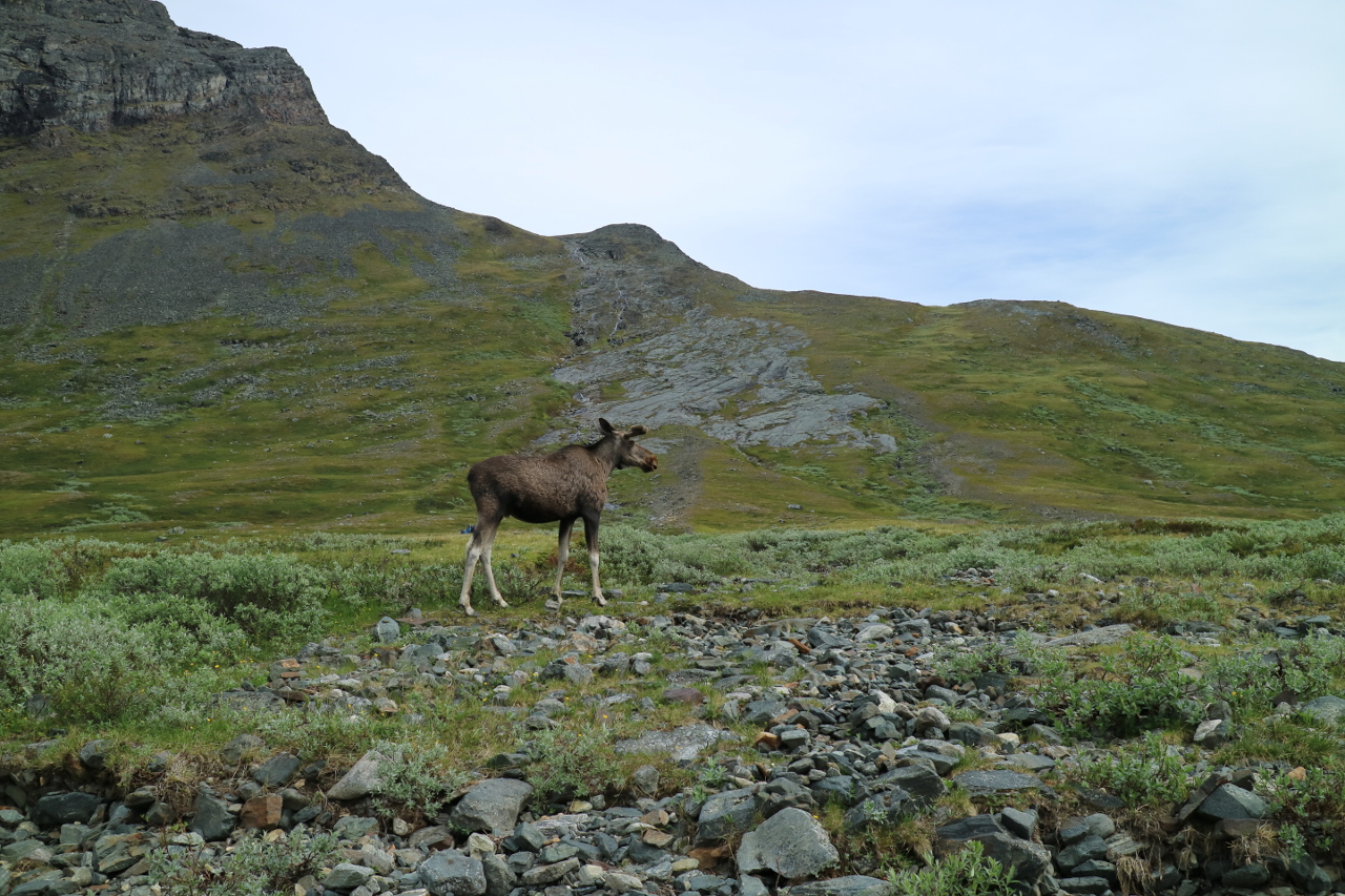 What an enourmus animal. We stayed to watch, what he might do, when he decided to pass the river and leave.
 Shaken by this outstanding encounter, we continued our way, not yet knowing how lucky we had been.
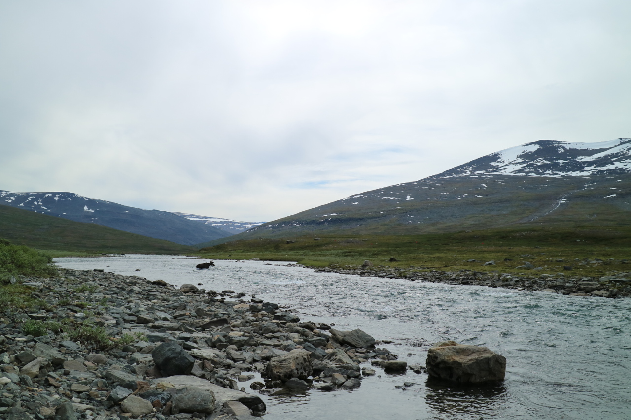
 Through this high flat valley, there is one of the mooses migration routes, and the warden at Kaitumjaure told us, that she always gets asked about the mooses, but they are shy, capable in hiding (which we observed how quickly this enourmous animal vanished) and generally walking other ways than people.
 That was, when we put up camp a little bit above the lake, to avoid midges, but still within the tree line. A bad idea, allthough the view gives a bad impression.
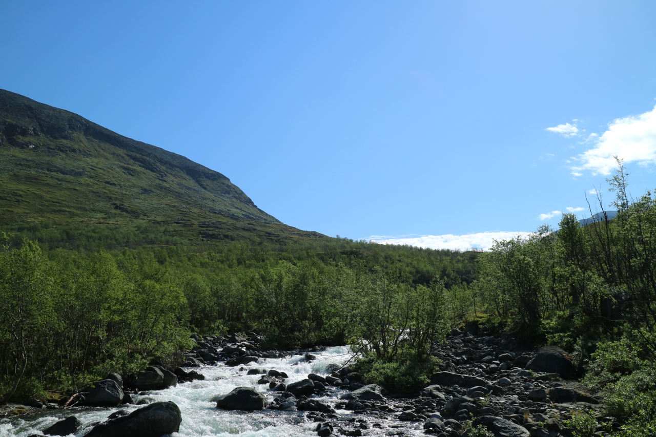
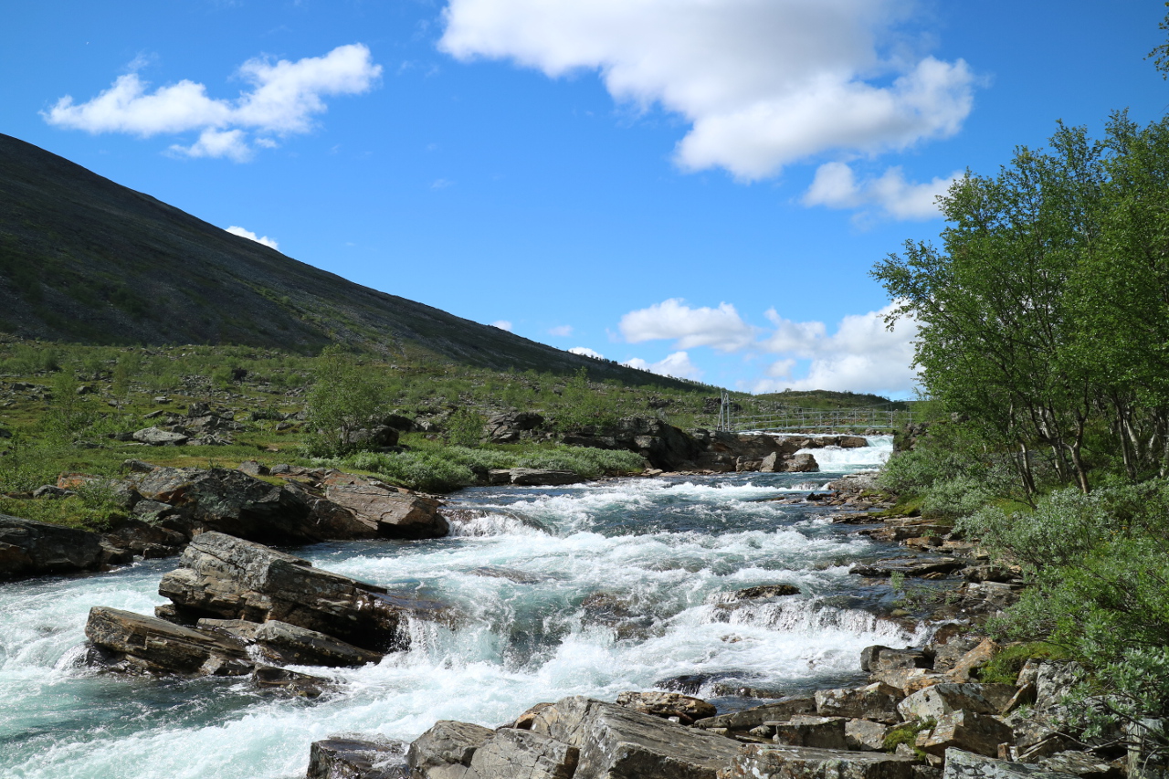
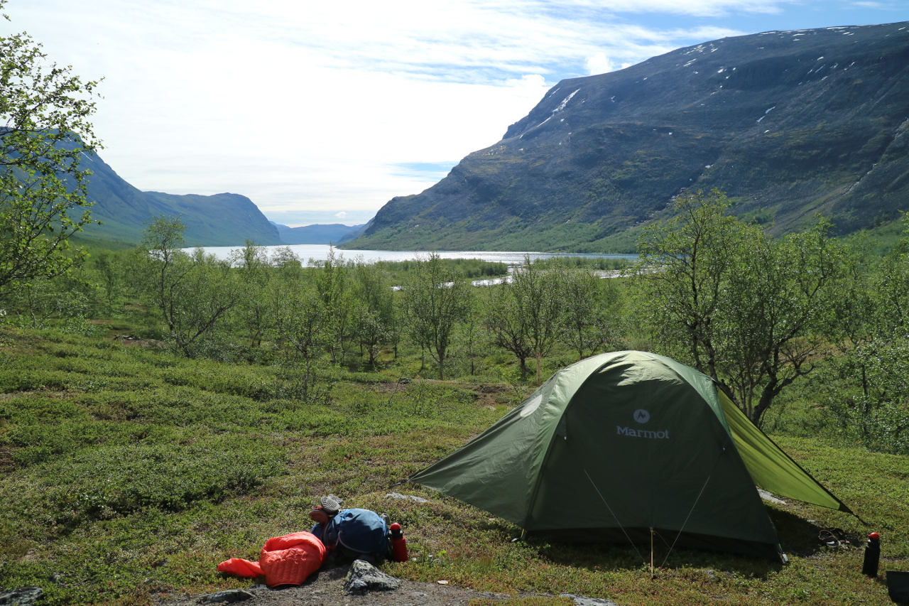 This is the place, were the midges of sweden earned their bad reputation. Luckily, we headed of next day up stream again along the Kaitumjakka, a wild and impressive river.
Which lead us quickly and directly back to the tree line. Passing a rendeer fence – the one fence in a week of walking, separatingt he areas of two Sami- tribes – we started to head for the next pass at Muorki and trowards Teusajaure.
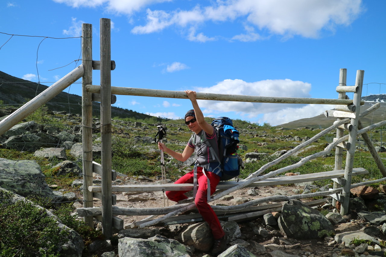 The path went straight up the hill,
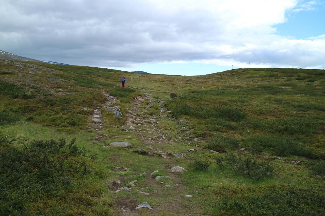 just to allow a long hike over an relatively flat plateau, seeing white bald eagles.
 At the end of the day, the trail approached a very steep decent, topped by a cliff structure overflown by part of the creek and again, having the trail following the water.
 This way quickly turned into the steepest decent of the Kungsleden down to the Lake of Teusajaure and the cabin with the same name.
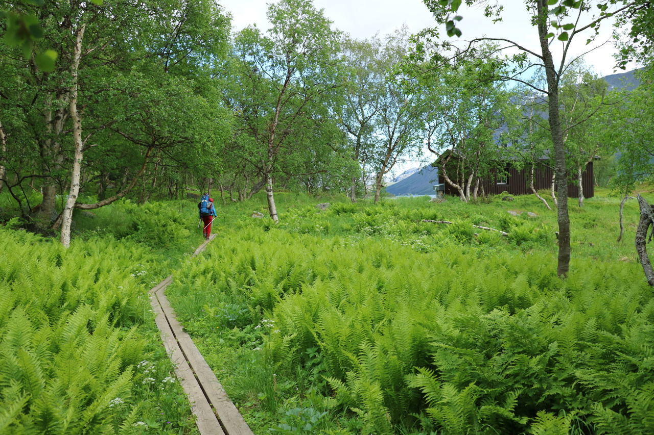
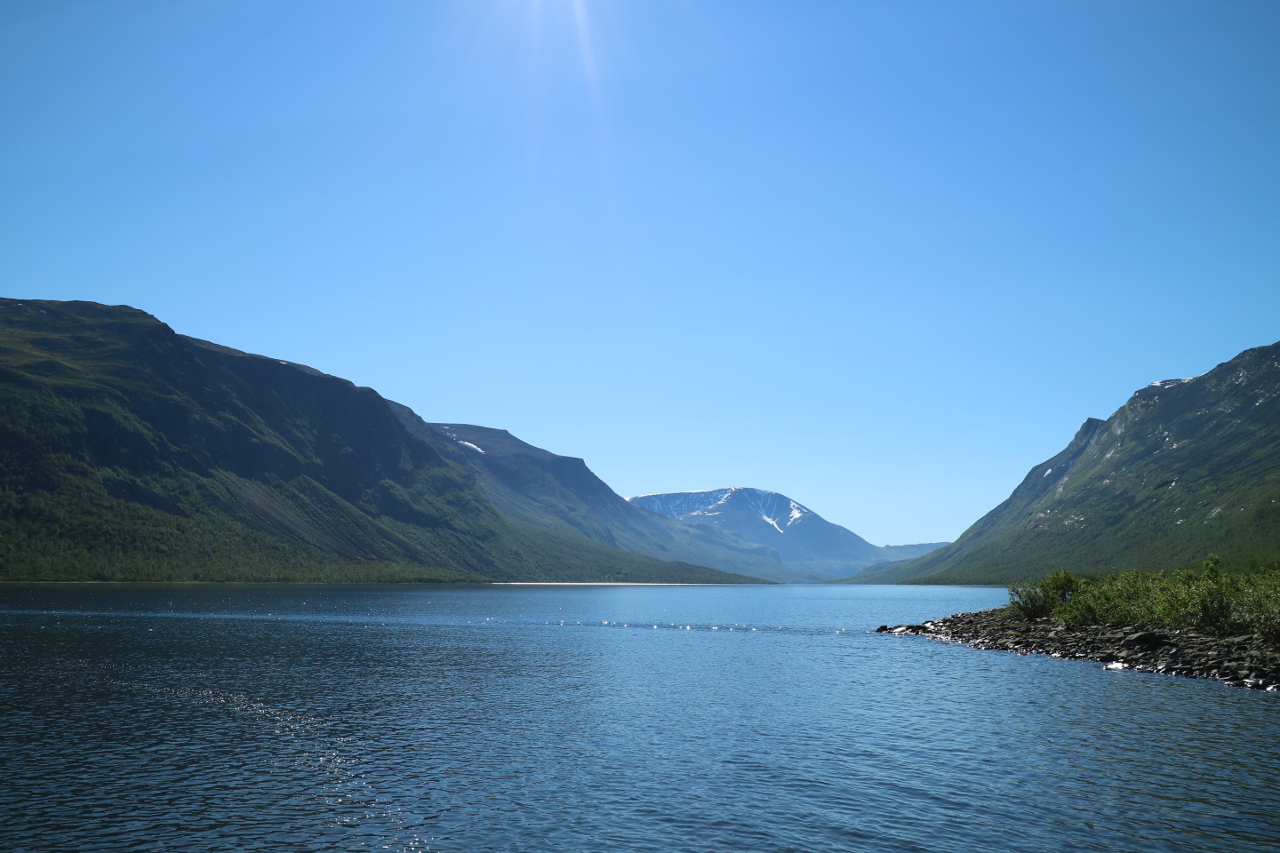
 Down there we were rewarded with wonderfull green meadows and a shoreline forest at an impeccable swedish lake.
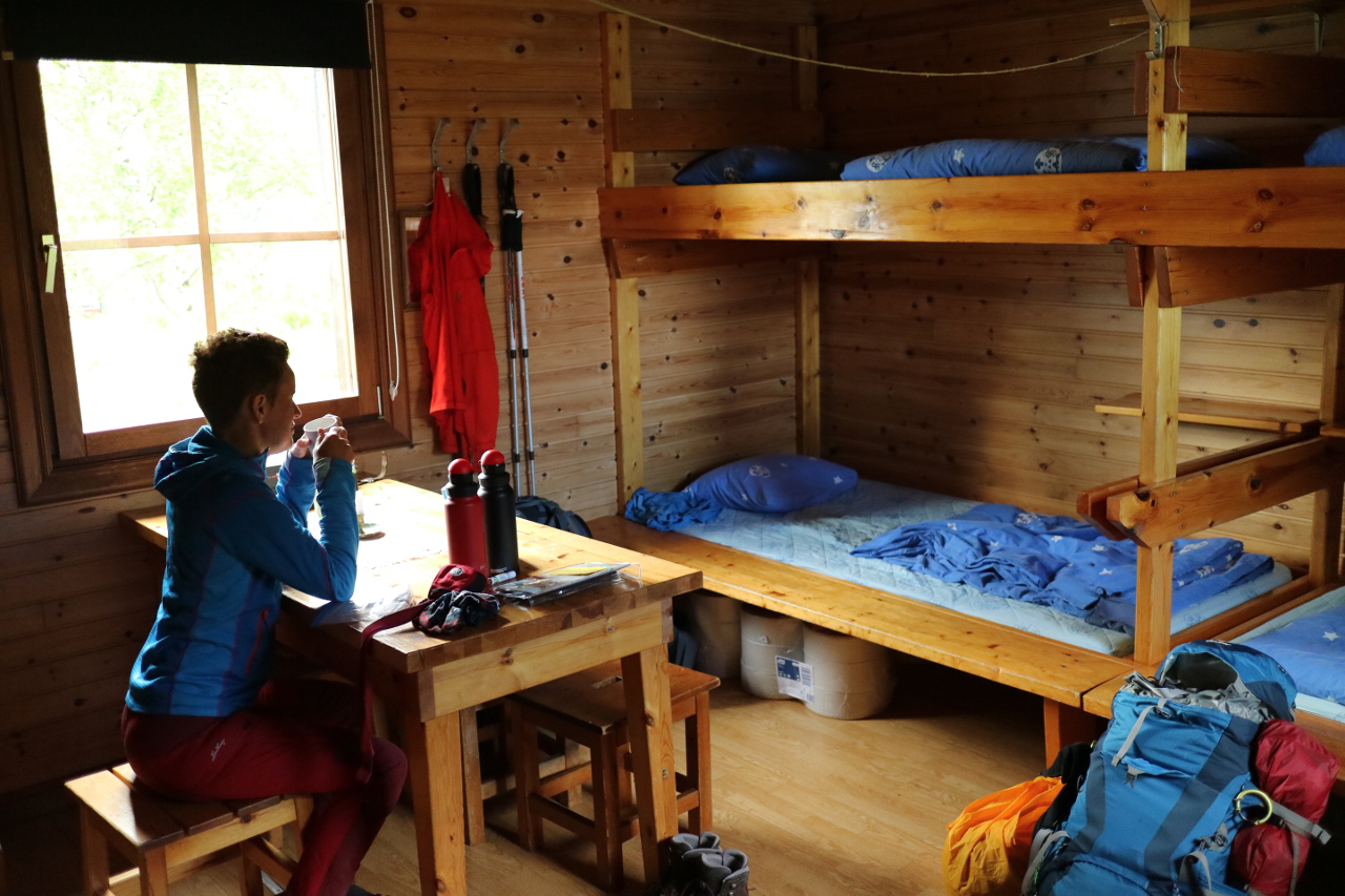
 Since the camp spots were a bit limitted and we faced the next day, what we considered to be likely the most demanding hike of our entire trail, we decided again for the bed and took possession of these.
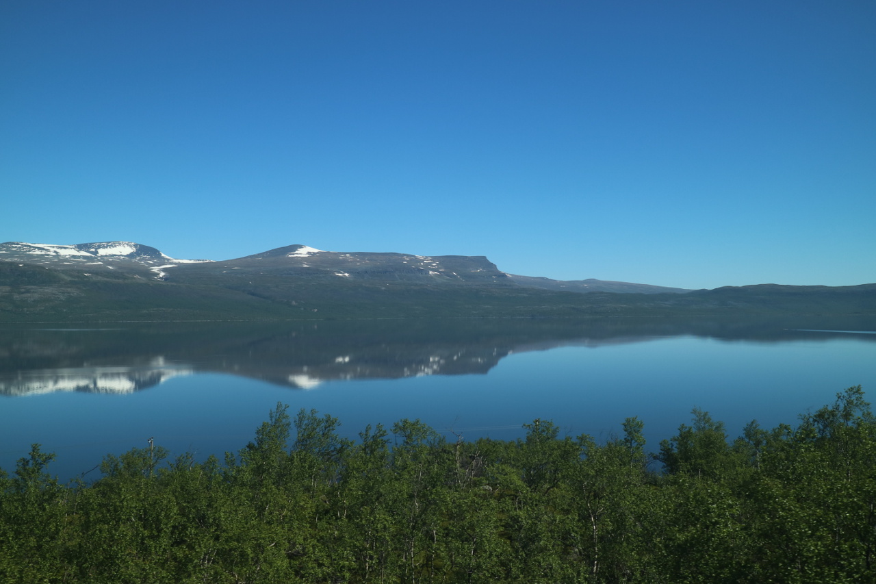
 The relaxation was immediately and I could not even resist to get up in the midnight sun to take some puictures of this beautiful mirror like lake.
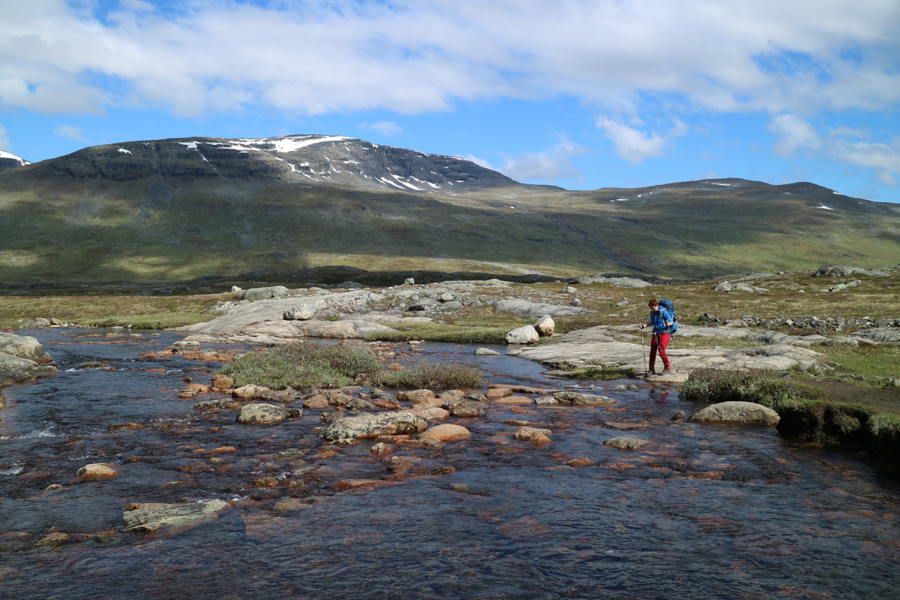
 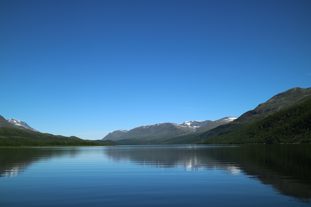 In the morning, we opted for the stugvärds service of bringing us to the lakes other side, allowing even more impression of the incredible setting,
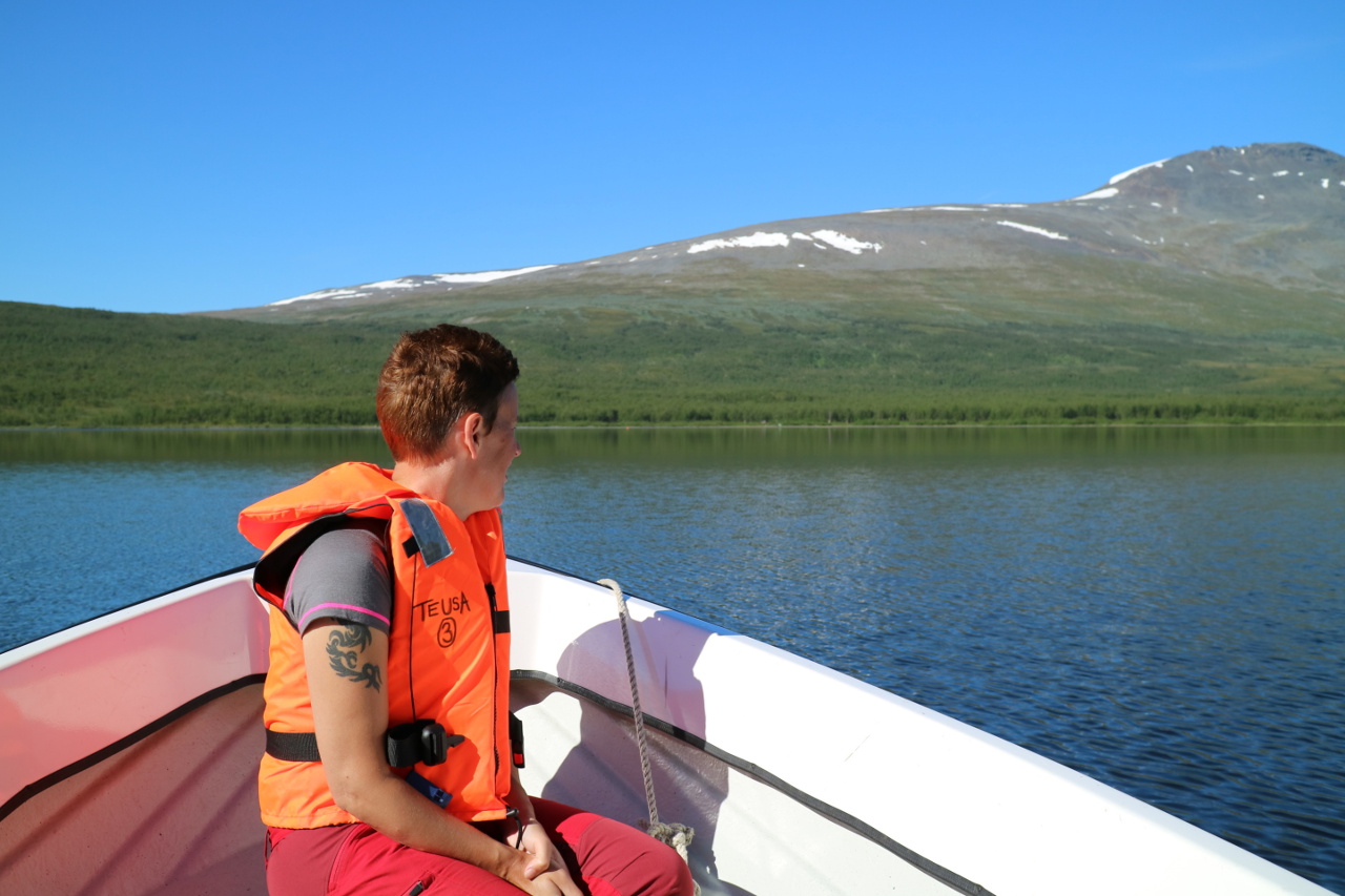 allthough we could have opted for the rowing boat.
On the other shore line a quick steep trail, not quite as steep as the previous evening down, we were heading nearly straight up hill towards the Rengärde plateau, leading us to the end of this stretch at Vakkotavare.
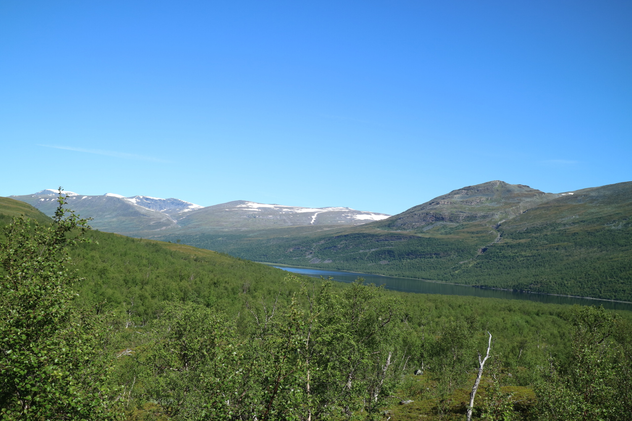 The climb of 500 meters in altitude allowed some wonderful views back on the Teuajaure lake, anyway something you probably should make a habit of in this surraounding.
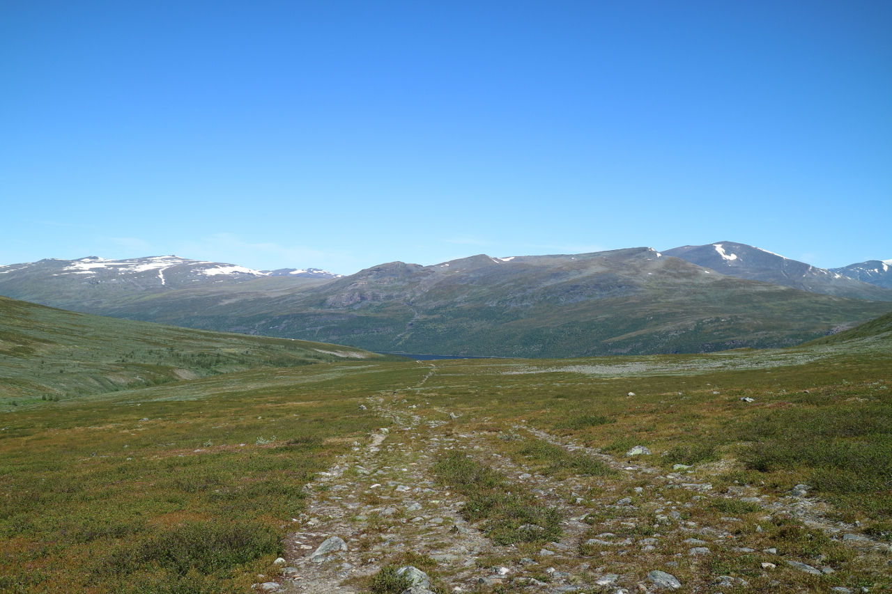 And again this lead to an enourmous plateau, where hours and hours of hiking lead step by step closer to the final descent.
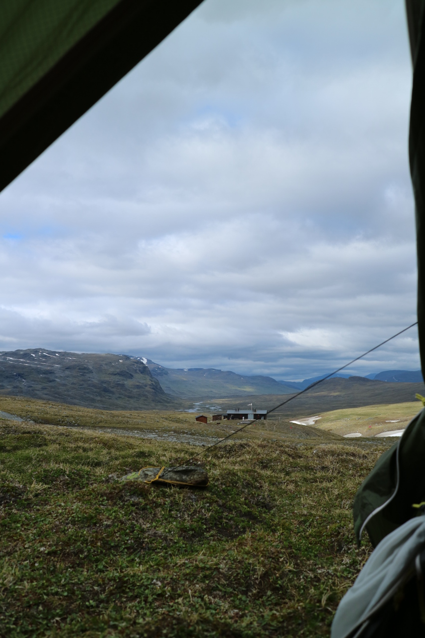
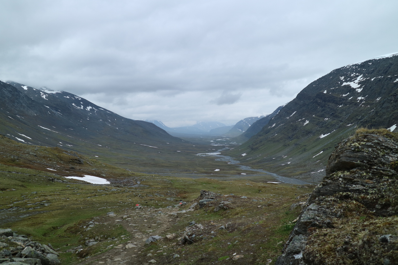
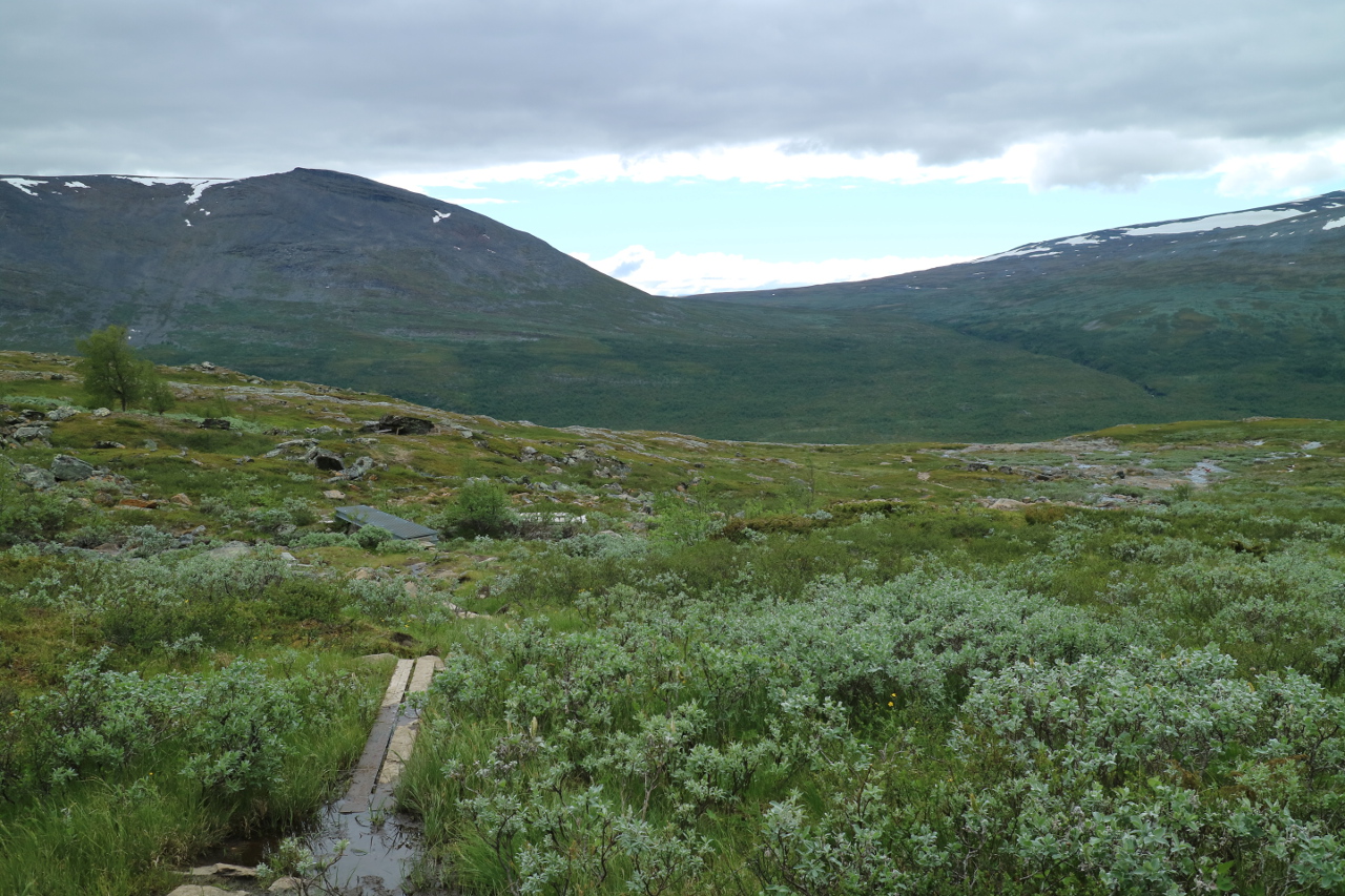
 Occasionally there had been again the planked ways, over muddy stretches and after perhaps five hours of walking all of a sudden the view turned to this:
 An incredible outlook to the Sarek ridge, an outlook which should company us till the end of the day. If nothing else was rewarding, even only this view had been worth every effort. The pain and the exaustion of more than a week hiking with a 22 kilogramm backpack … all forgotten within an instant.
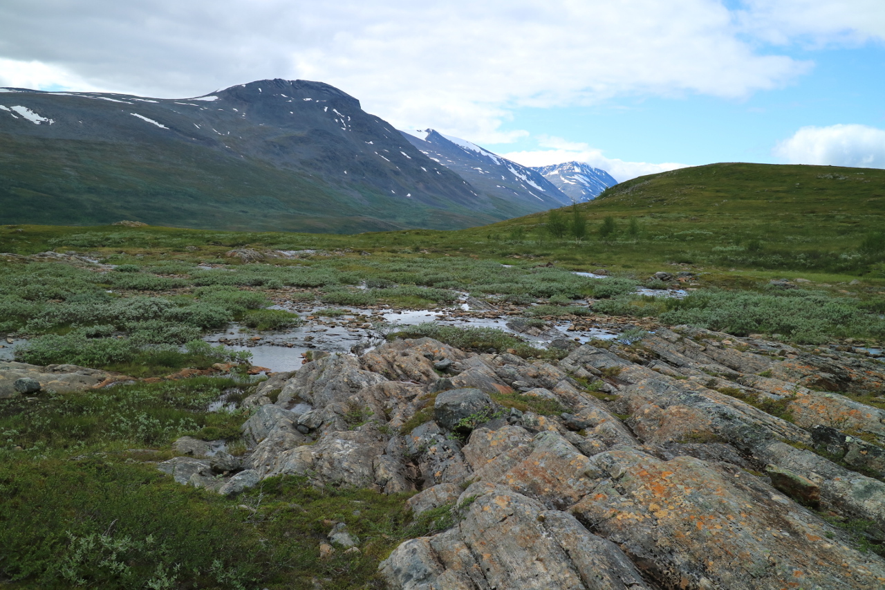
 The way passed some more tiny lakes, and creeks, keeping us busy passing them.
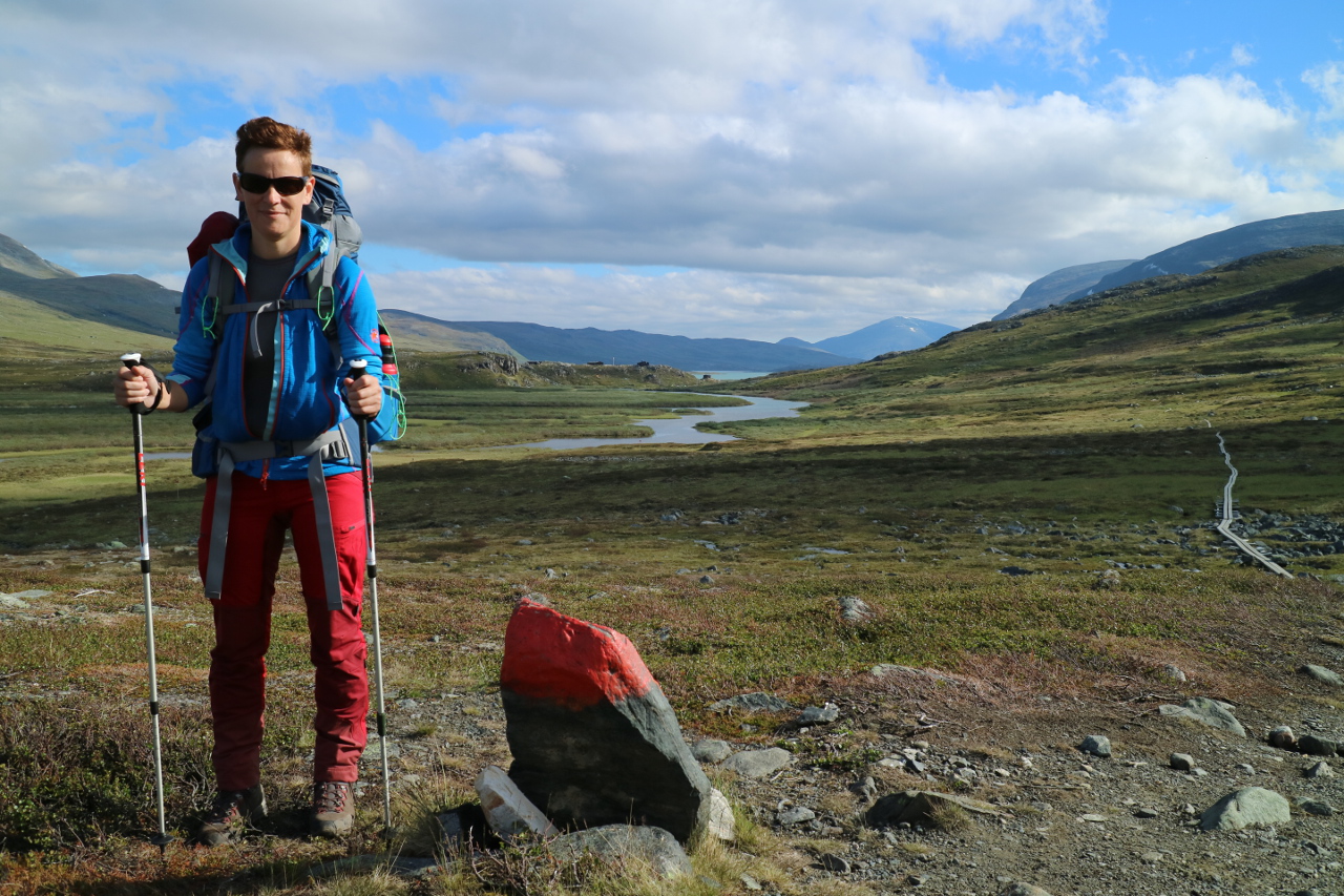
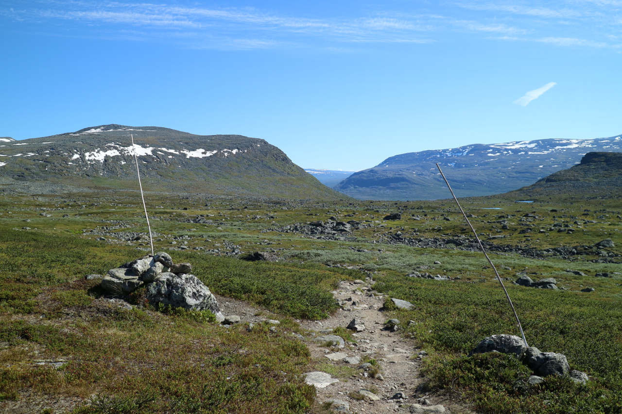
 Following the traditional path markings, even for winter travels.
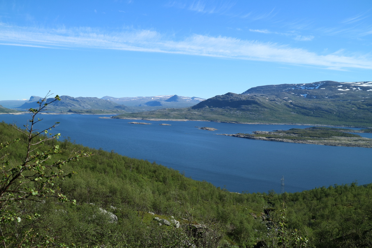
 And finally after more hours of the worst troll meadows so far, opening to a final view on the questionable Suorvajaure barrier lake. It’s not undisputed, because it consumed some of the most famous swedish waterfalls, nevertheless it fits the pattern.
 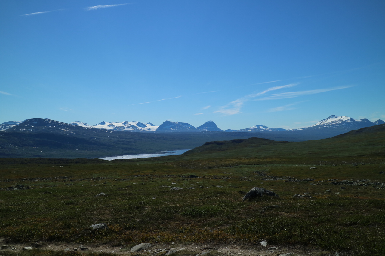 Again a steep decent, exhausted, tired and not sure of how to safely reach the bottom of the valley, we fighted for every step forward.
Resting more often, witht he excuse of the incredible view.
 And finally reaching the tiny STF cabin Vakktoavare – the goal oft hat trail.
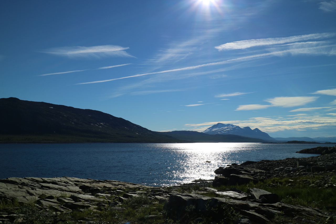
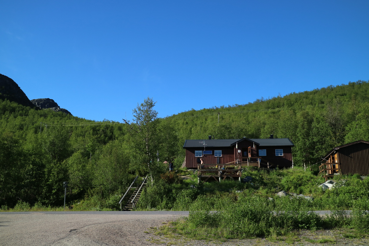 After nine days back on tarmac, with elextricity, and cars and … you name it. Enjoying the last evening on the lake shore.
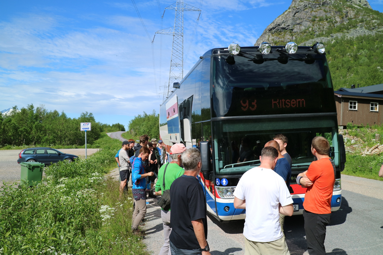
 And by the next morning, returning with bus #93 – you find travel information even on the map – riding back to our base camp in Gällivare.
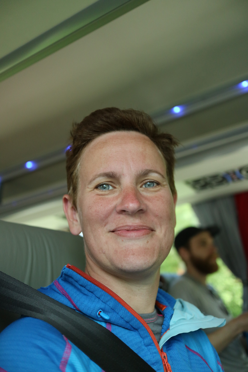
 Exhausted, relieved and not believing what we actually had achived.
Thanks for your company ….
Kyp. F.
p.s. Right now researching for the Northkalottenleden … We willbe back.
Pingback: Von Jucing, Gesundheit, Abnehmen und Kompletter Umgestaltung meines Persönlichen Lebens | Frank @ MyBenke.org
Pingback: Reingeschaut: Die steile Welt der Berge | Frank @ MyBenke.org